Our airports
The ten airports run by ANA – Aeroportos de Portugal, SA are spread over the different parts of mainland Portugal and the Madeira and Azores archipelagos. Each one of the airports has a specific environmental framework so the company’s actions are guided by ethical and responsible principles, imposing environmental policies suited to the values at stake. The proximity of airport infrastructure to urban, rural and/or protected nature conservation areas is carefully analysed by ANA teams, mindful of the needs of the surrounding communities.

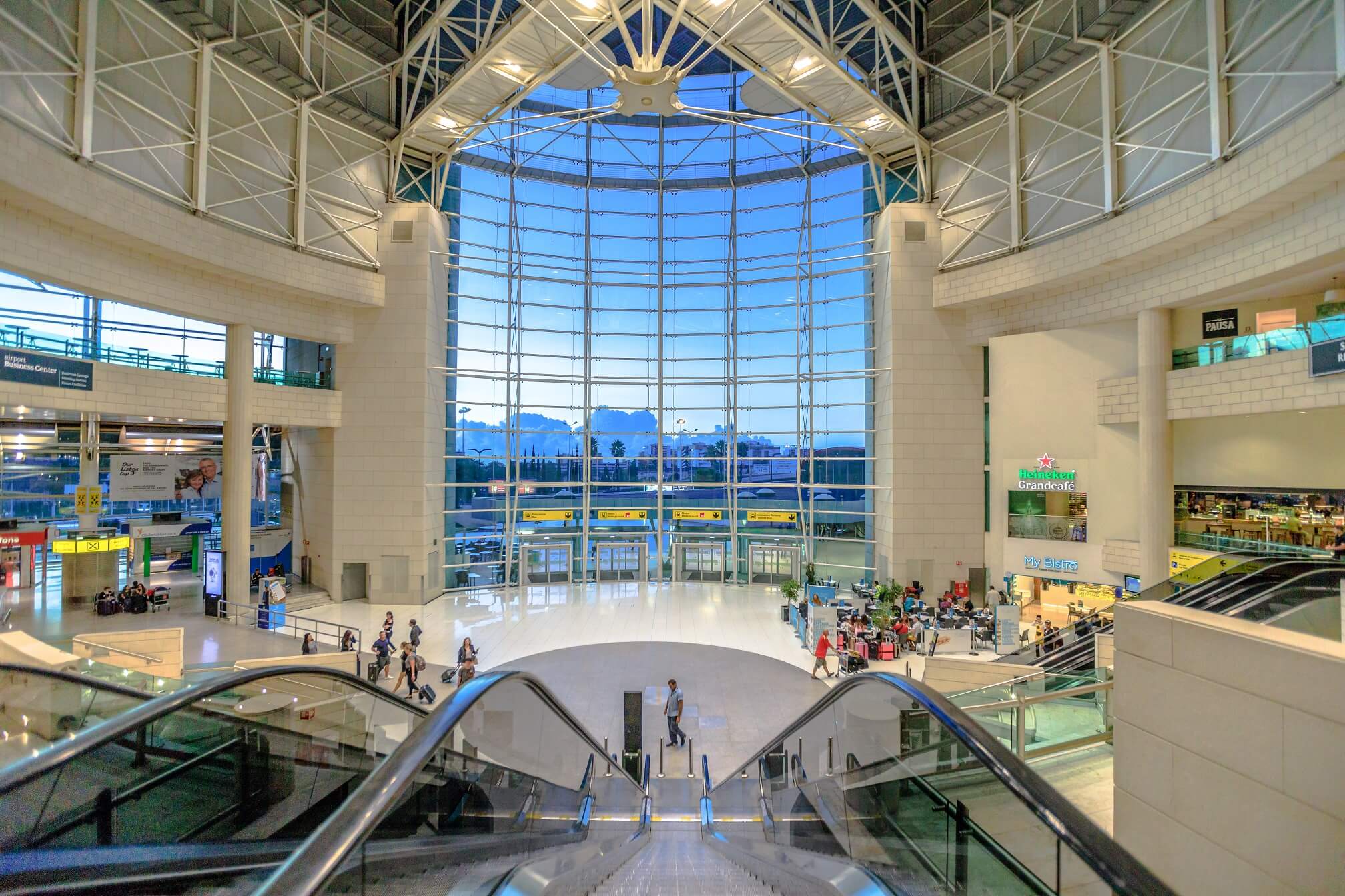
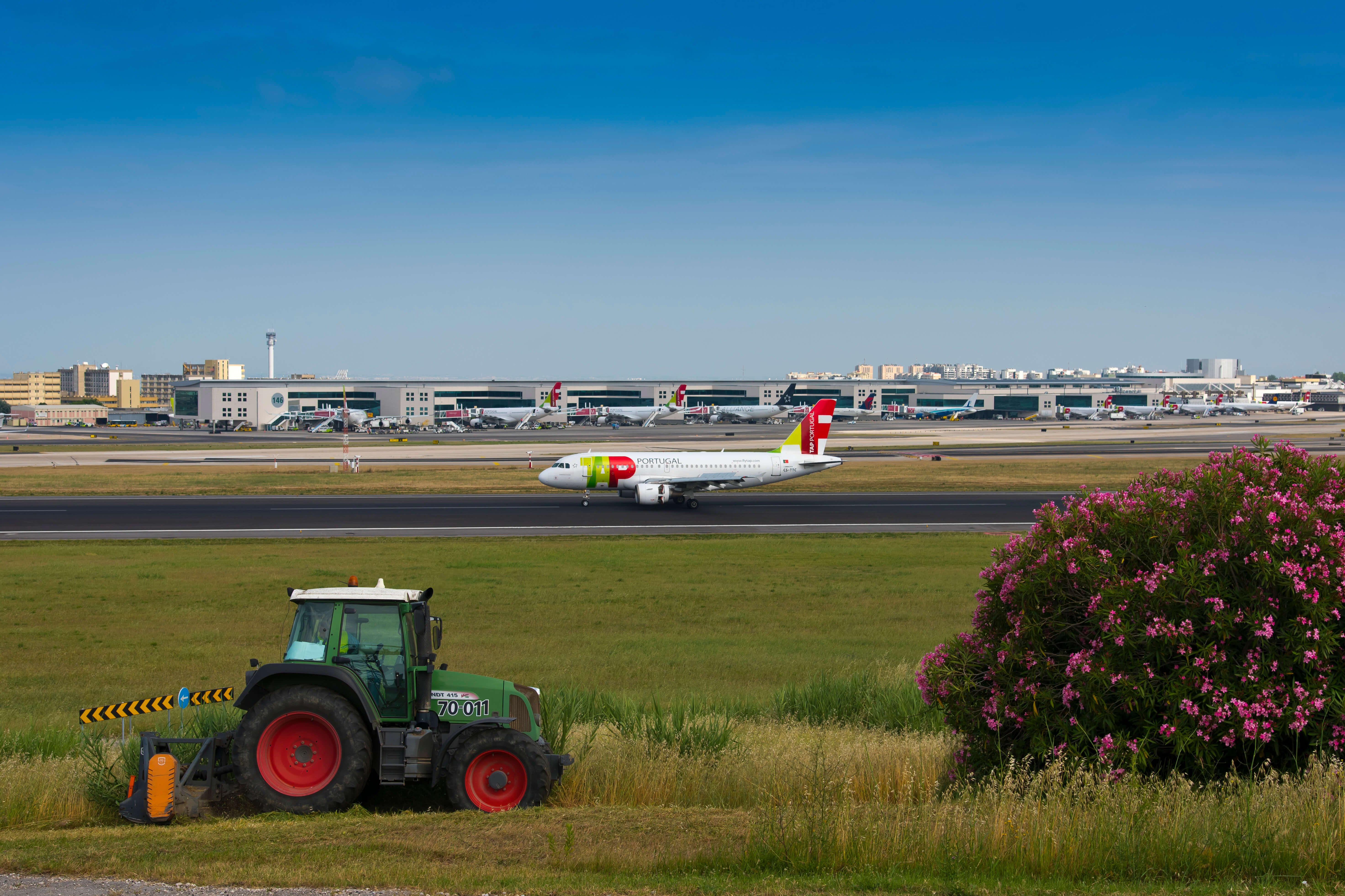
Humberto Delgado Airport (LIS)
Humberto Delgado Airport in Lisbon is the largest Portuguese airport in passenger numbers and volume of traffic and is one of the most important airport hubs in Europe.
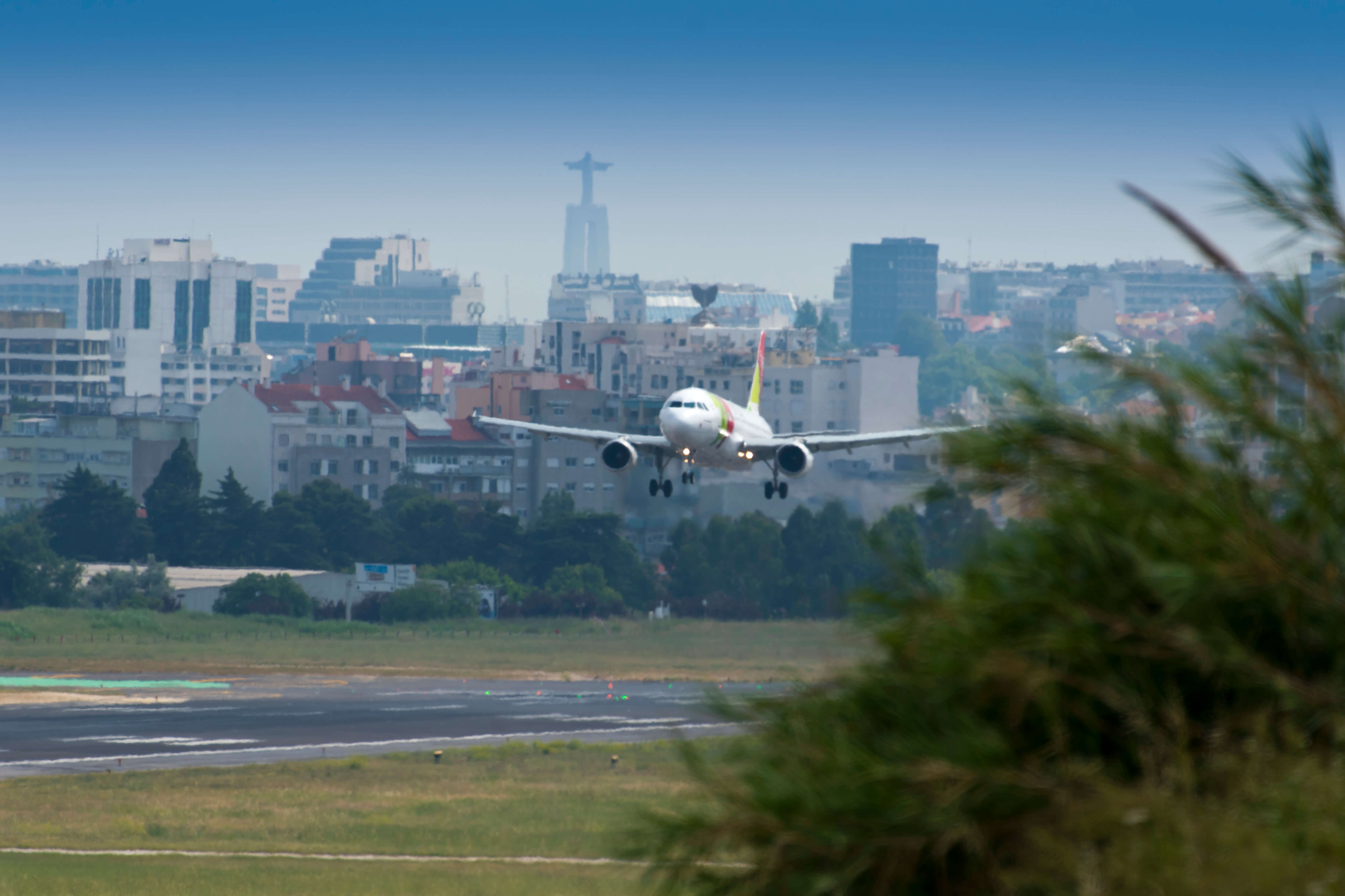
It is located in Portela de Sacavém, 7 km from the centre of the capital, on the edges of Lisbon and Loures municipalities, occupying part of the parishes of Santa Maria dos Olivais (Lisbon Municipality) and Camarate (Loures Municipality).
Given its urban setting, the area around the airport is characterised by its high population density. There are industrial areas in the vicinity of the airport, including warehouses, factories and civil infrastructure, such as Júlio de Matos and Santa Maria hospitals, the Ricardo Jorge Institute and the university campus.
There are small watercourses to the extreme north of the airport, flowing into the Prior Velho. These watercourses flow under the airport runways through water tunnels that ensure the re-establishment of run-off. In topographical terms, the airport area is at an altitude of approximately 114 metres.
Also of note are the important nature conservation areas close to the airport, particularly the Tagus Estuary Nature Reserve.
You can access the location here
Beja Airport (BYJ | LPBJ)
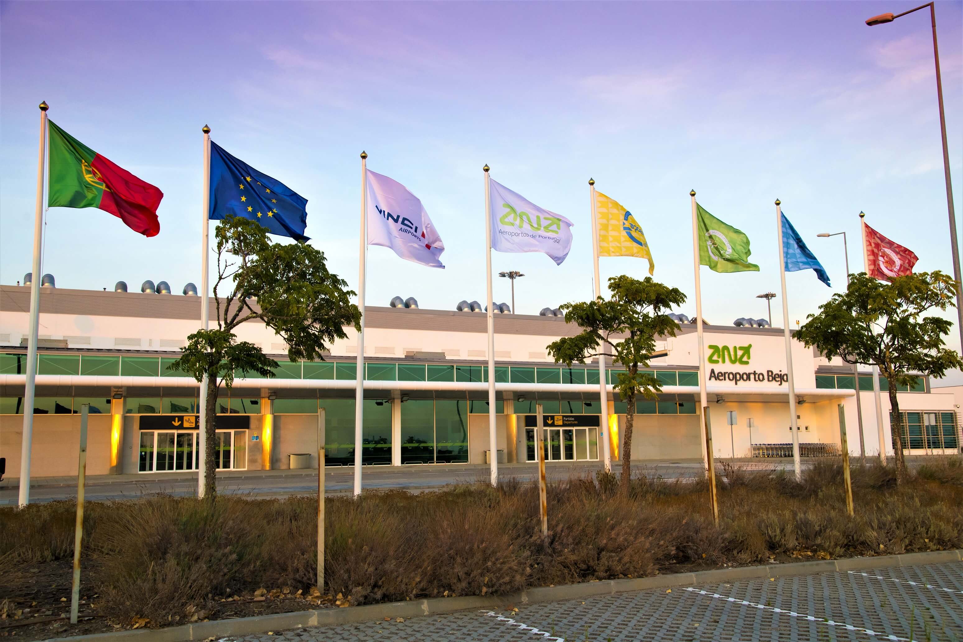
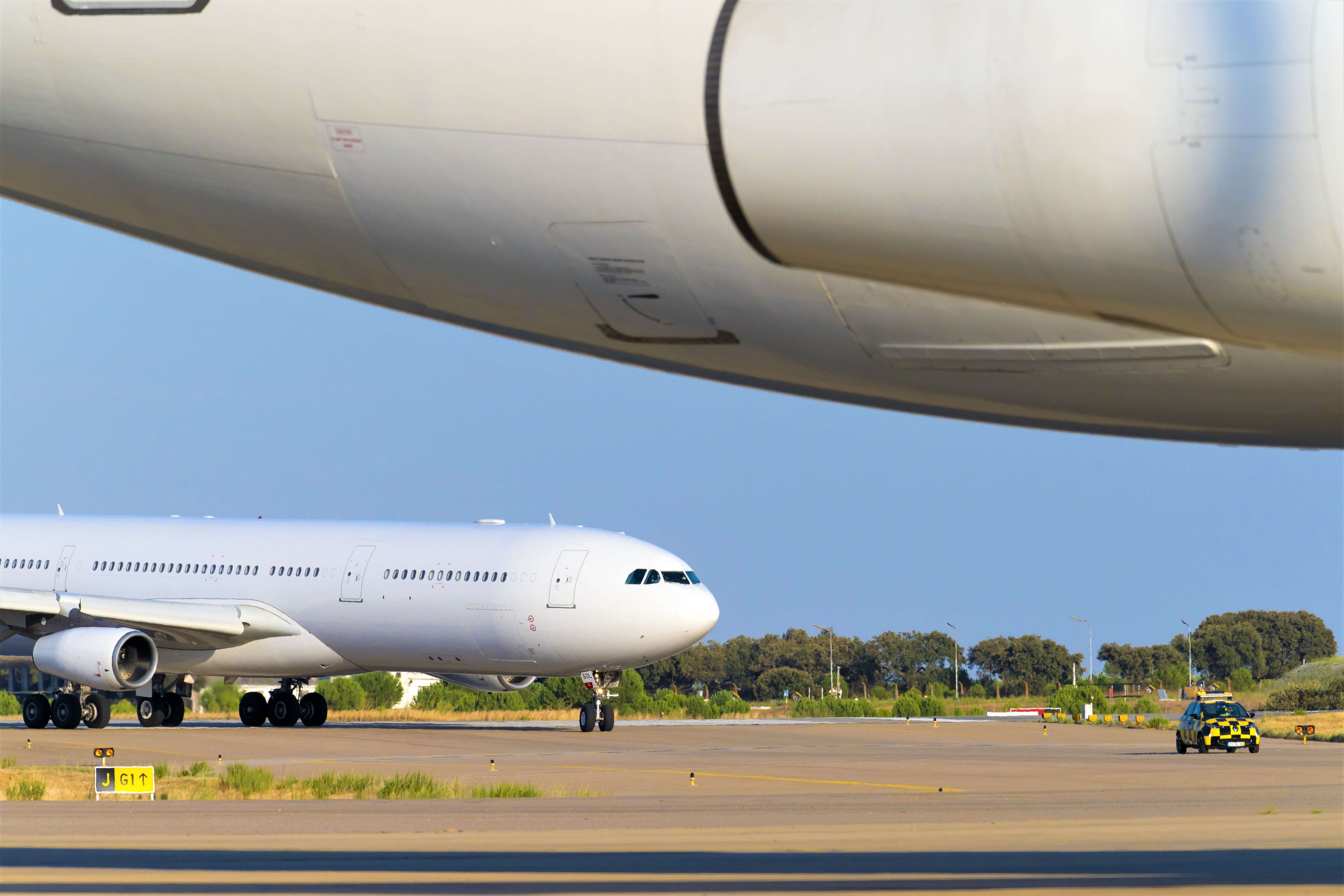
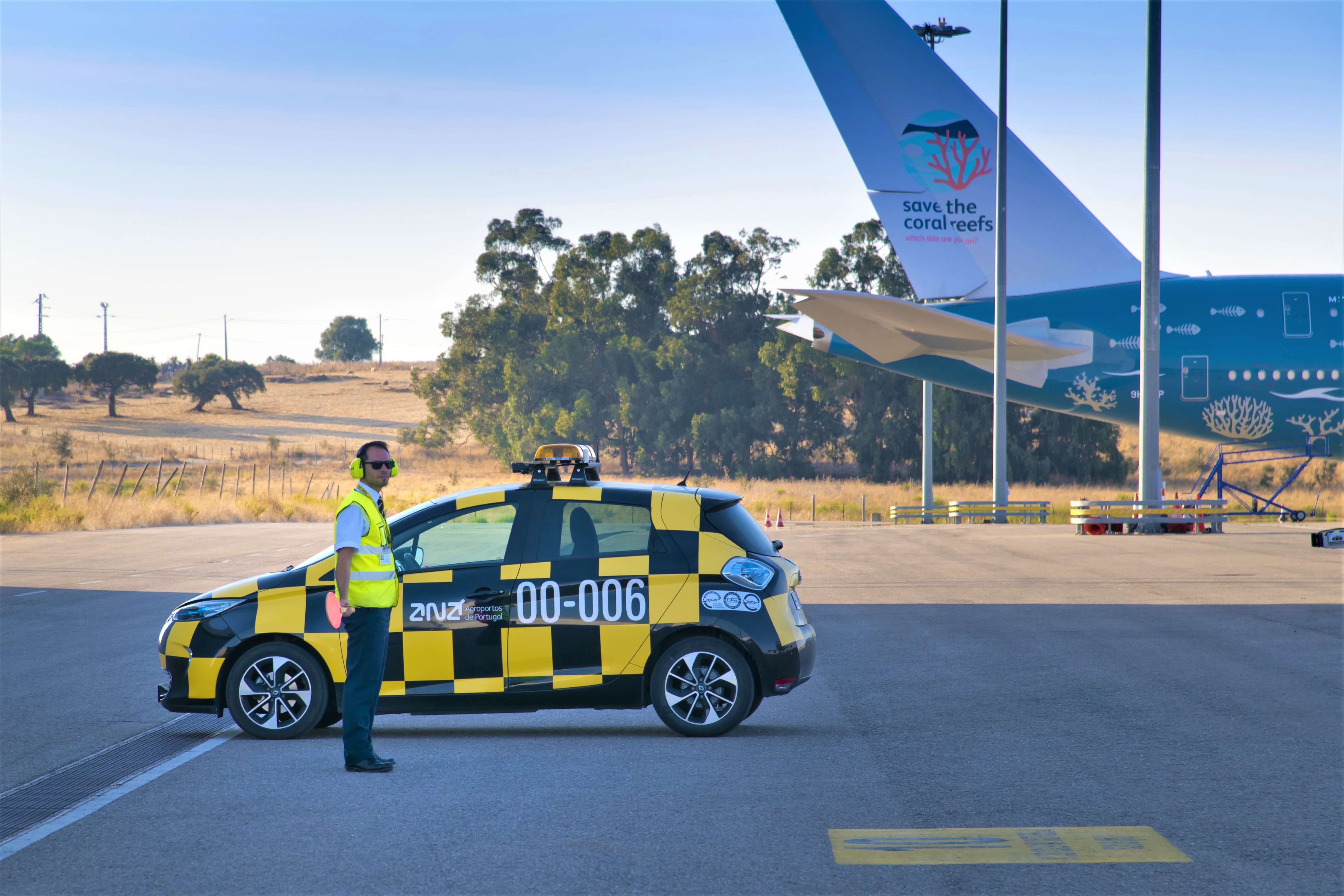
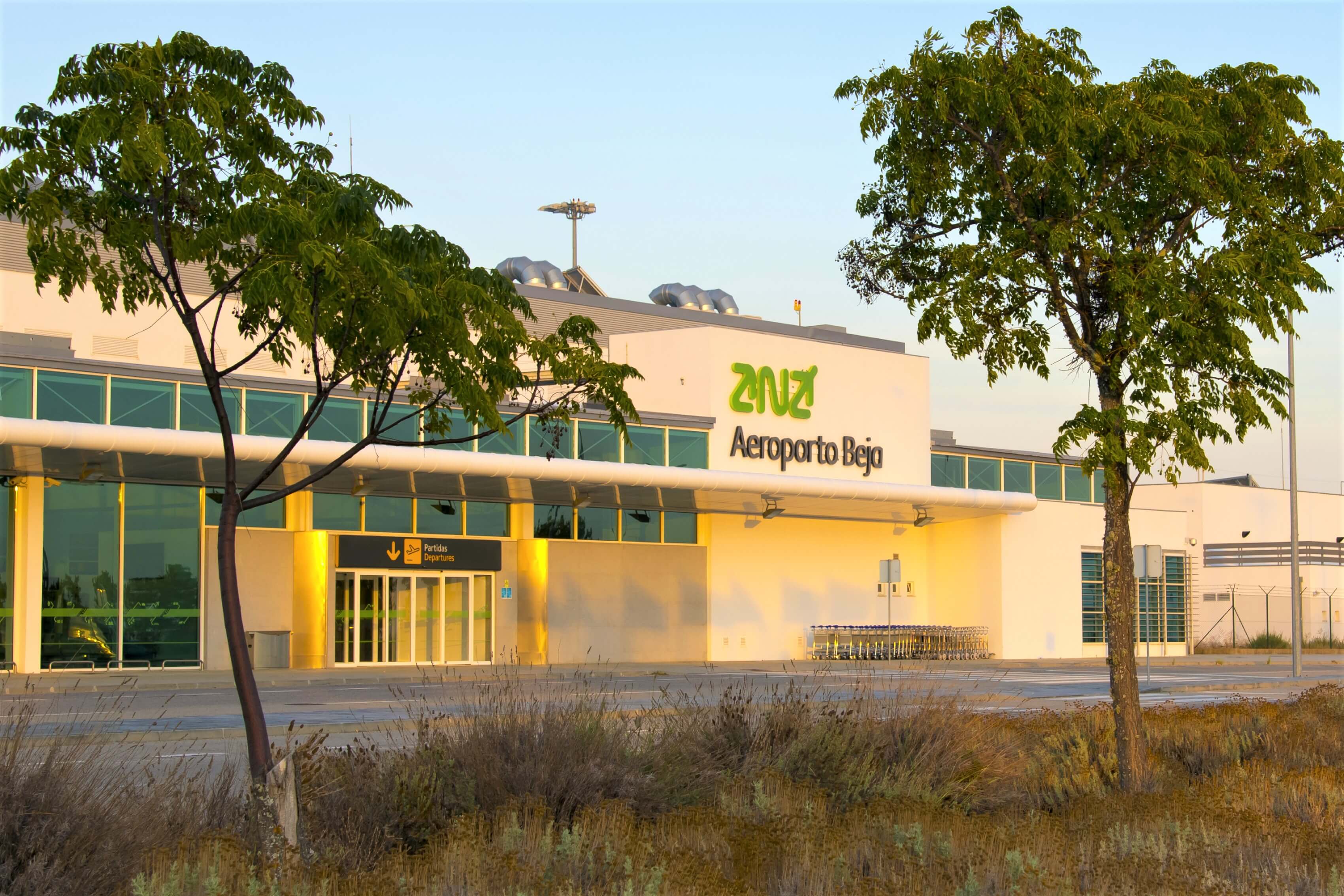
Beja International Airport, in Baixo Alentejo, came about as a result of Air Base No. 11 being adapted as a civil airfield and is located 12 km from Beja City.
The airport is built in the vicinity of the rural cluster of São Brissos and Quinta da Arramada da Torre, Quinta da Torre and Bolor.
The area around the airport is marked by farmland, where non-irrigated cereal crops and cork oaks forests grow, as well as other irrigated crops, particularly sunflowers and vegetables. It is on the Alentejan peneplain, characterised by low relief and criss-crossed by a rather underdeveloped water network.
The lagoon (old quarry) and the River Álamo make this area relatively abundant in water resources.
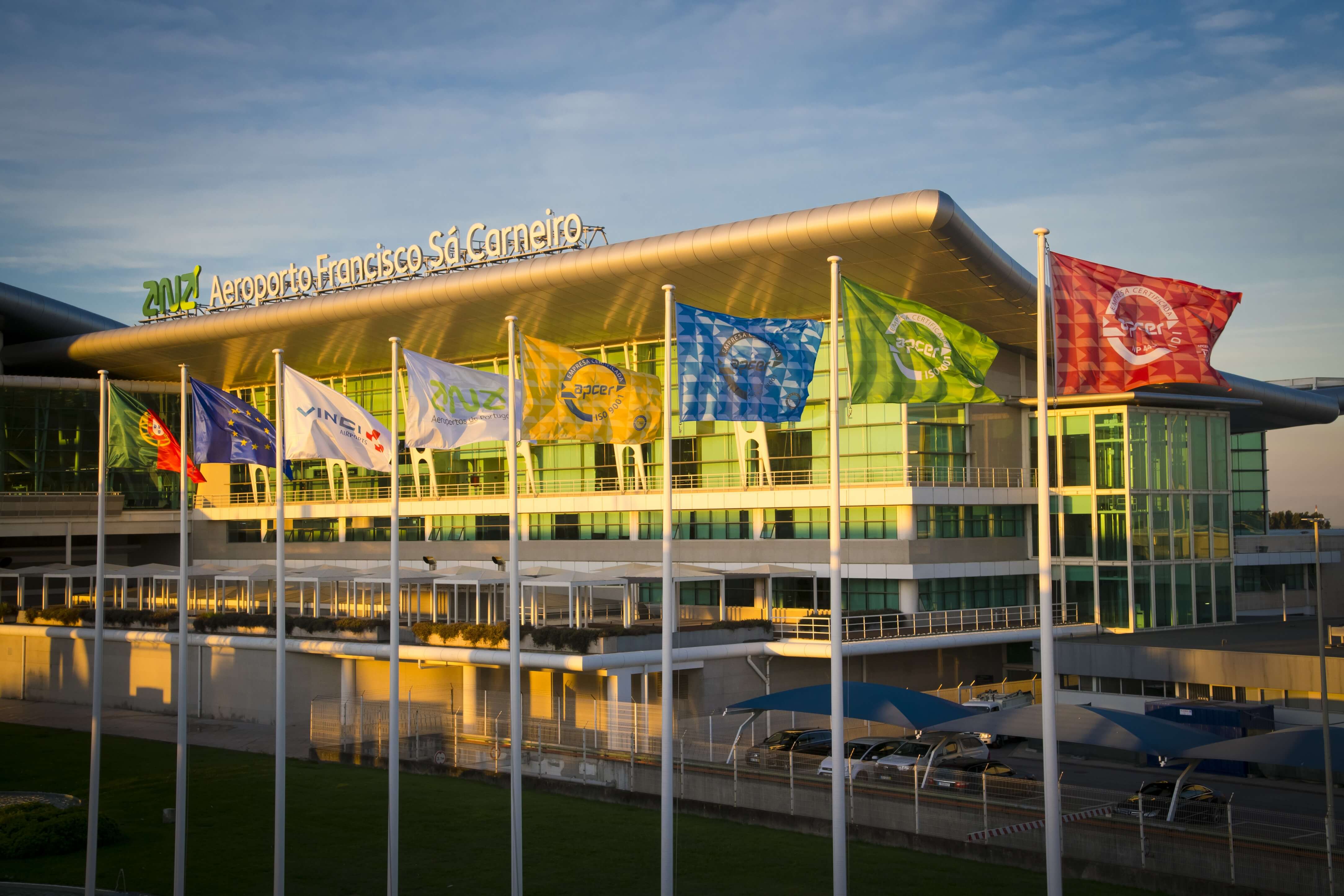
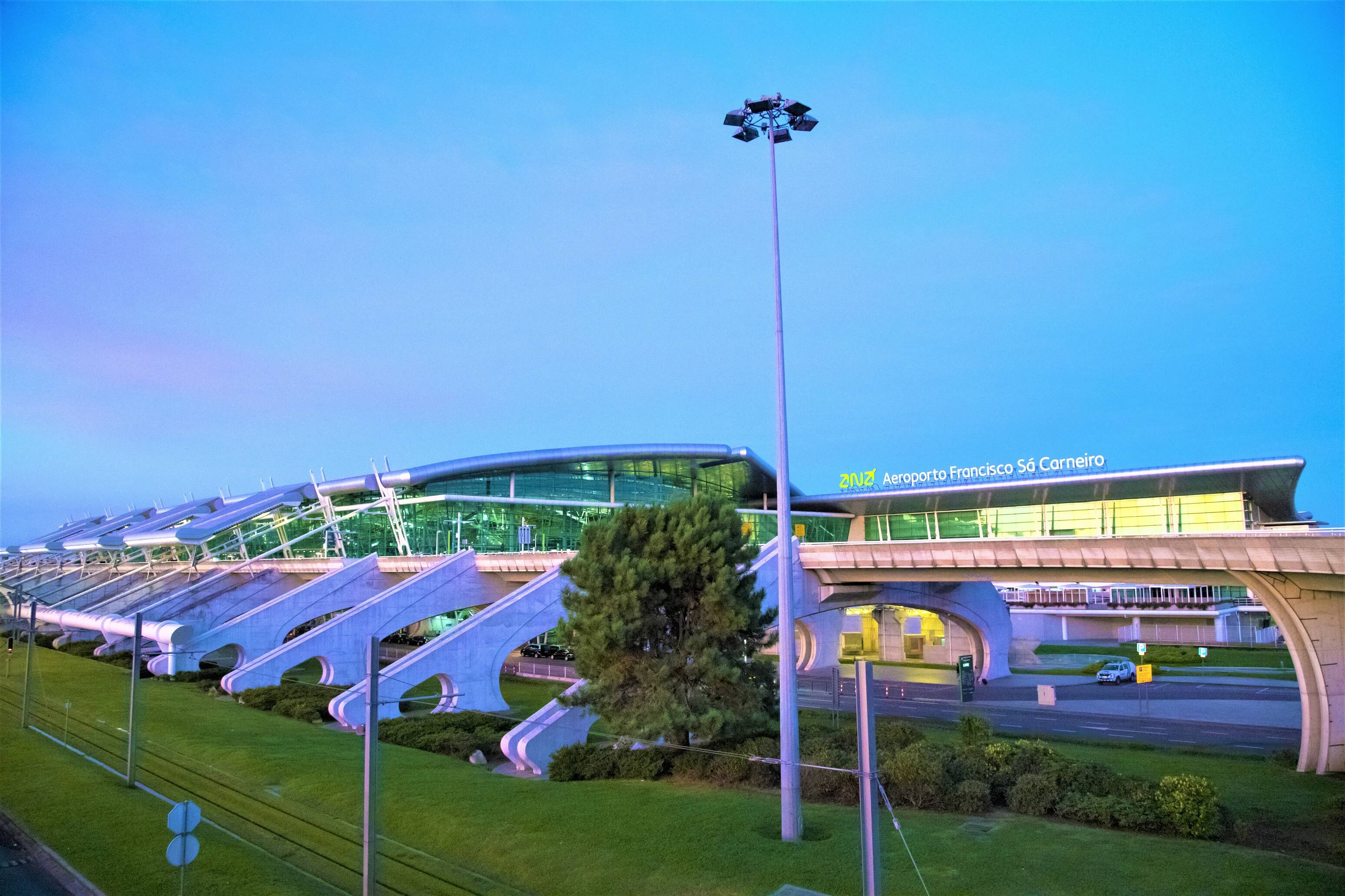
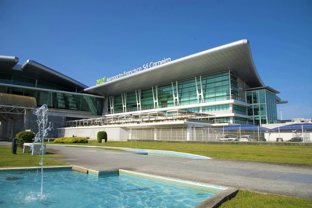
Francisco Sá Carneiro Airport (OPO)
Francisco Sá Carneiro Airport in Porto is the second national airport and serves the entire Northern Portugal region and Spain.
Located in Maia, around 11 km from Porto, this airport is on the edges of Matosinhos and Vila do Conde municipalities, occupying parts of the parishes of Sta. Cruz do Bispo, Perafita and Lavra (Matosinhos Municipality), Aveleda and Vilar do Pinheiro (Vila do Conde Municipality) and Vila Nova da Telha and Moreira (Maia Municipality).
The area around the airport is dotted with residential areas, with higher density in the lower areas, of note being the proximity of the infrastructure to farm and forest land.
The southern half of the airport is an area where watercourses spring up, flowing directly to the sea, from the River Leça basin and other smaller river basins. The northern half of the airport intercepts one of these watercourses, which has been re-established through a water tunnel. The area is relatively flat, with elevations varying between 72 and 43 metres.
You can access the location here.
Faro Airport (FAO)
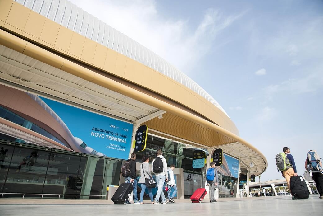
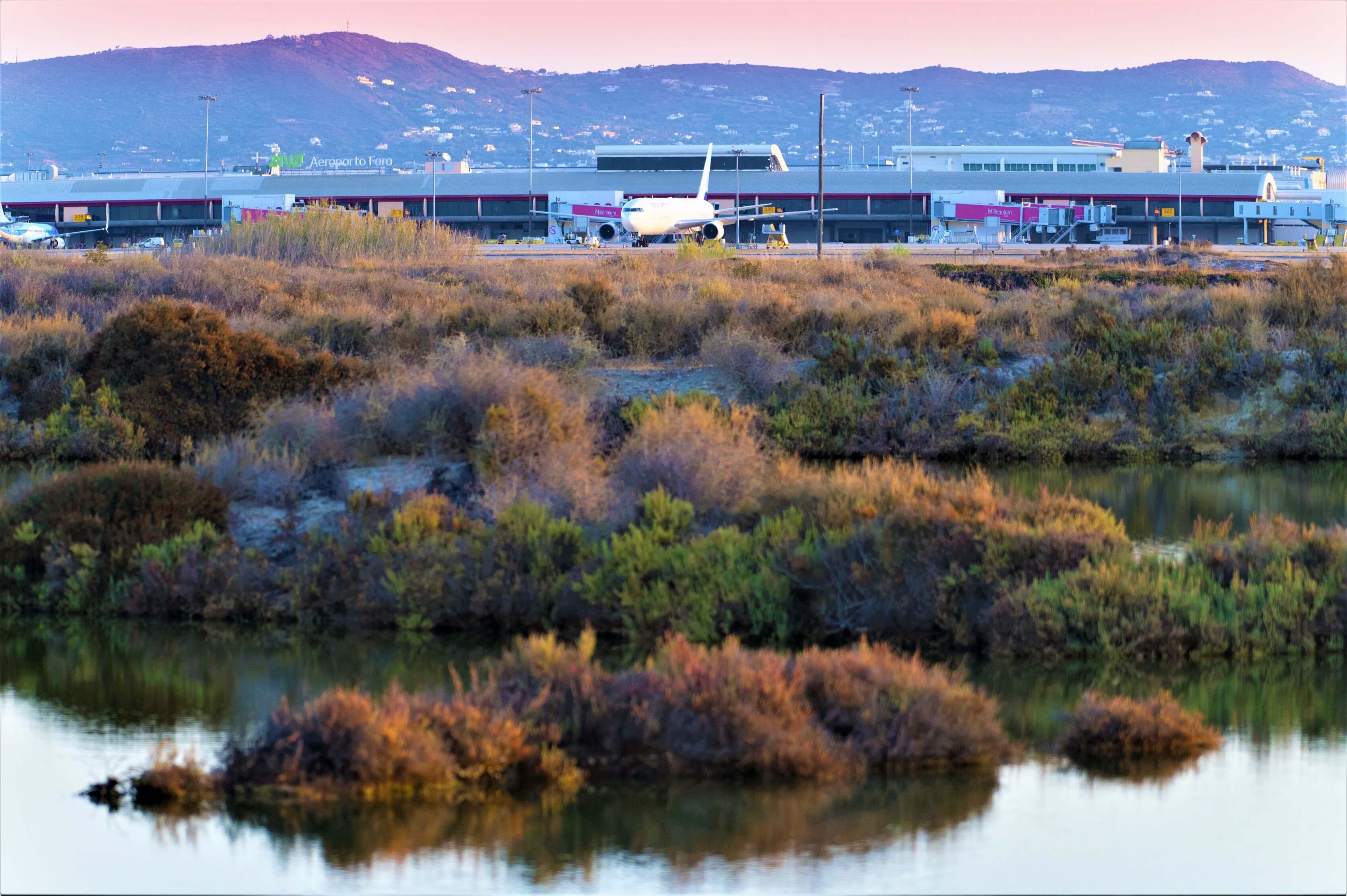
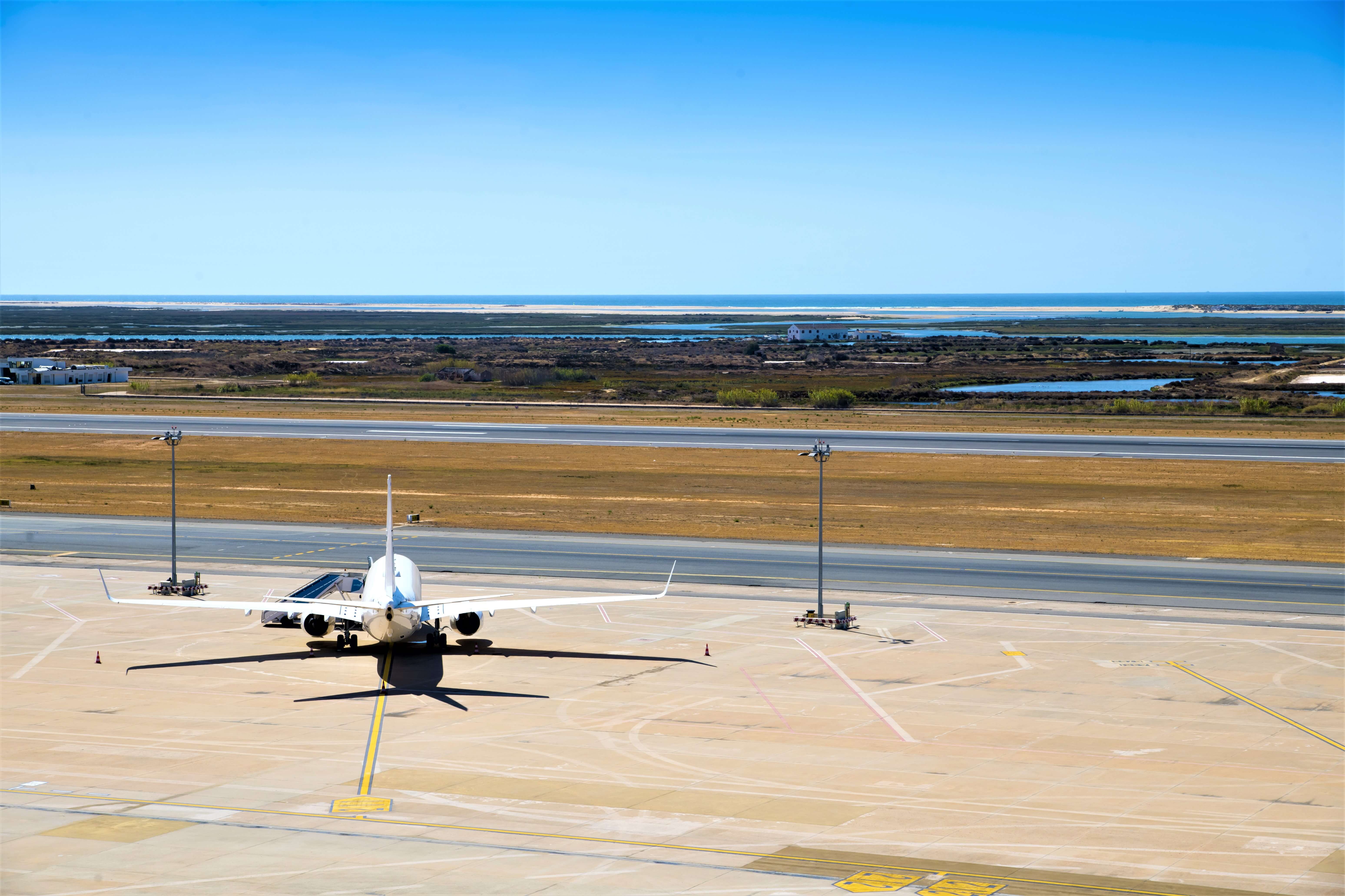
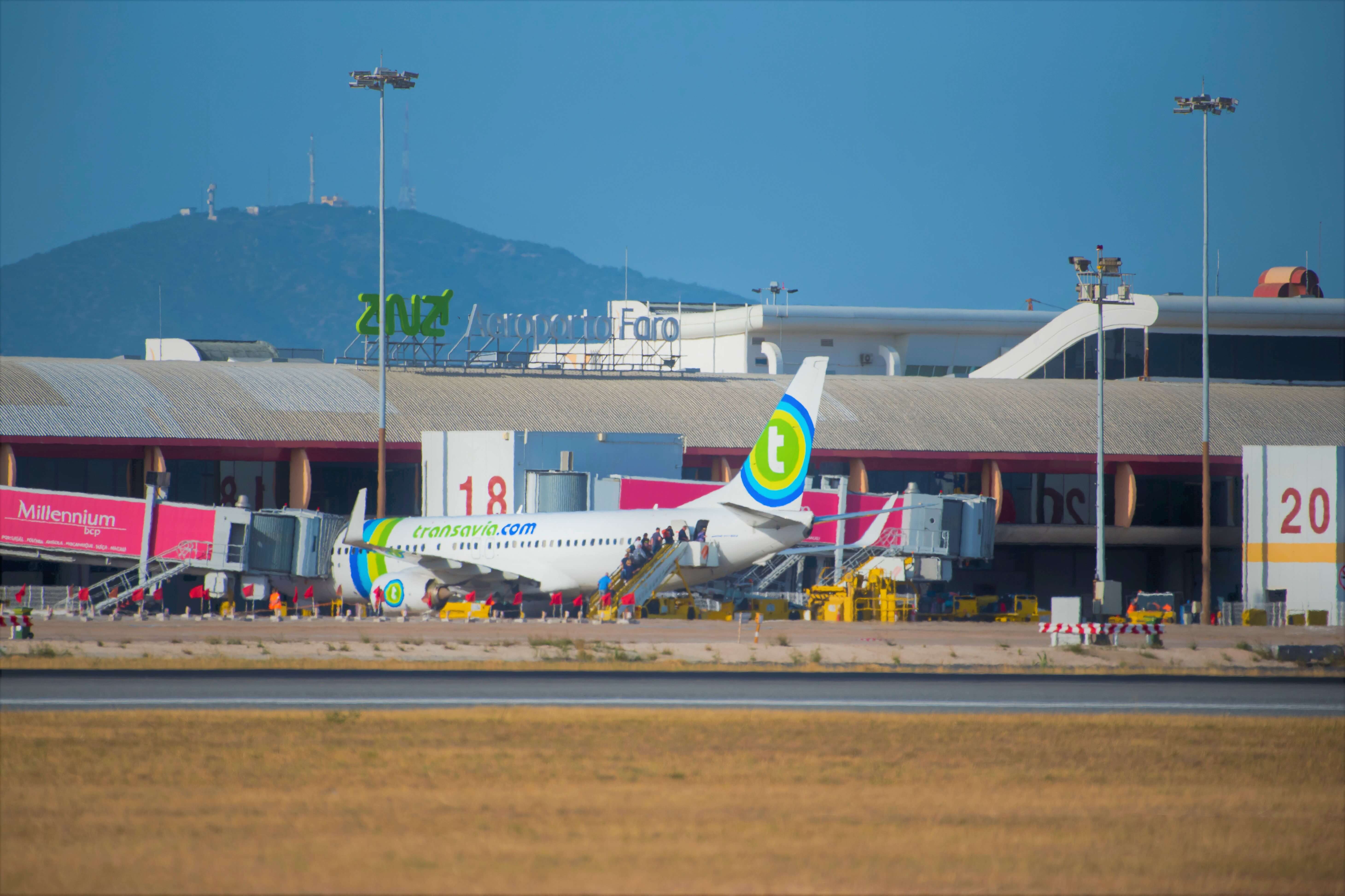
Gago Coutinho Airport is 4 km from the city and is bordered by Montenegro Parish and the Ria Formosa Natural Park in the Algarve.
Faro City and beach characterise the region around the airport, with residential area that are mainly used for seasonal occupancy. Faro Airport borders areas of important nature conservation value. Marshes, saltpans, lagoons and aquaculture are part of the diversity around the airport, of note being, to the west, the “Herdade do Ludo” estate, also called “Quinta do Ludo” or “Tapada do Ludo”, with conservation status (Decree-Law No. 173/84, of 24 May). The Ribeira do Vale das Almas also goes through the airport area, flowing into the Ria Formosa estuary downstream from the airport.
The Faro Northwest Municipal WWTP is located northeast of the airport. There are fish farms/aquaculture to the southeast of this area.
The land the airport was built on, although falling under an area called “Arabia”, considered to be of low economic value, had areas of marshland and farmland.
You can access the location here.
João Paulo II Airport (PDL)
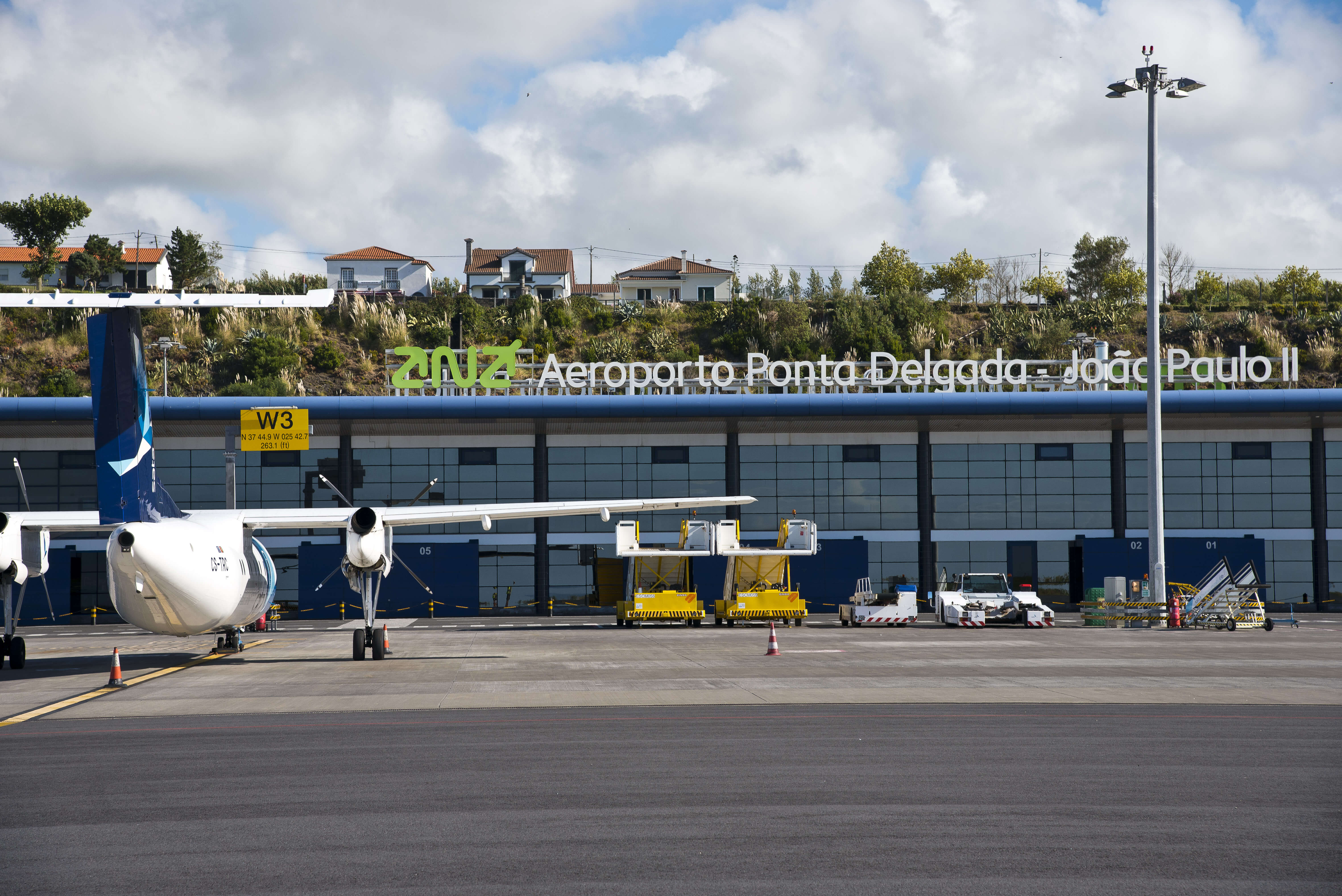
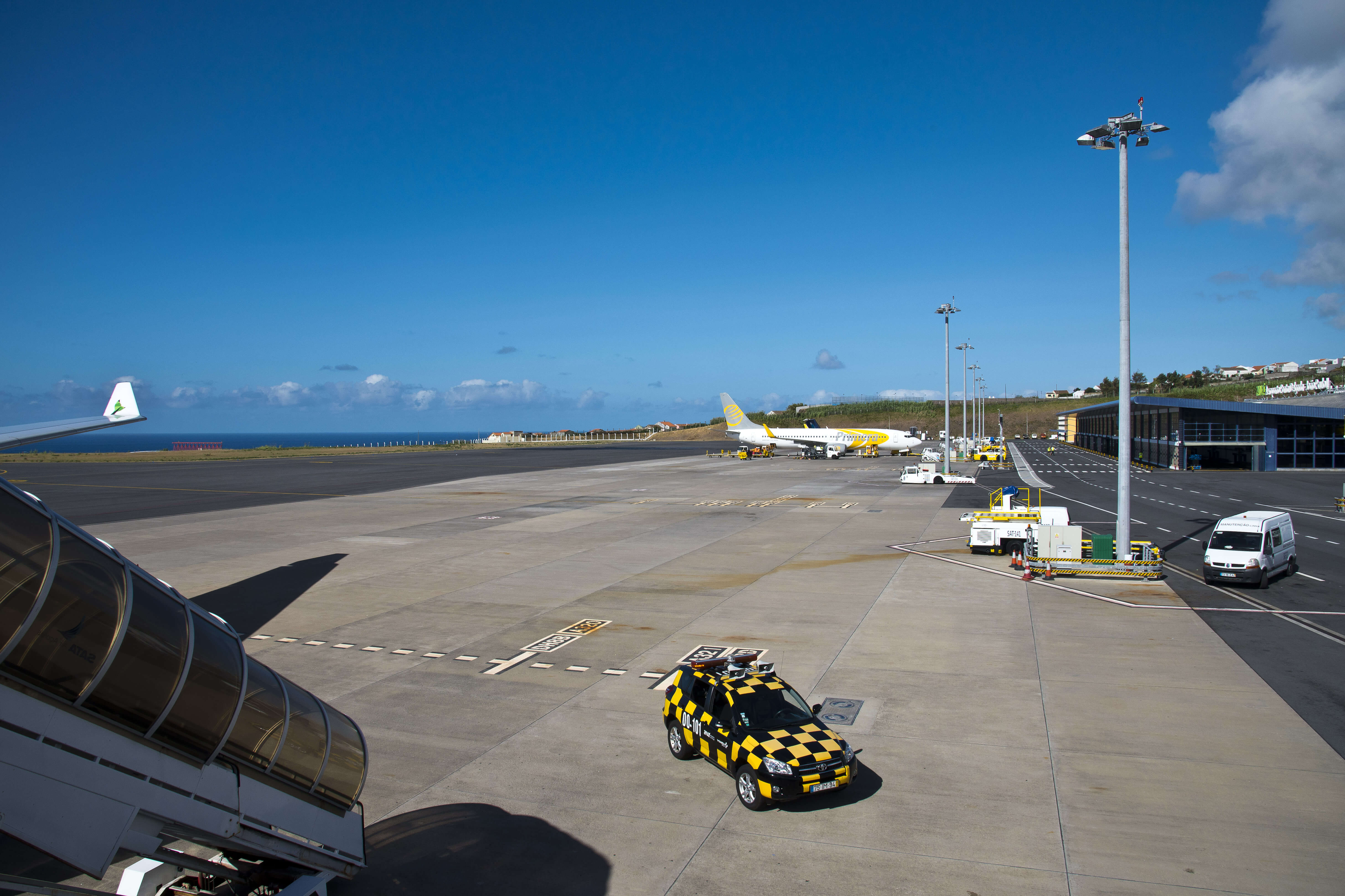
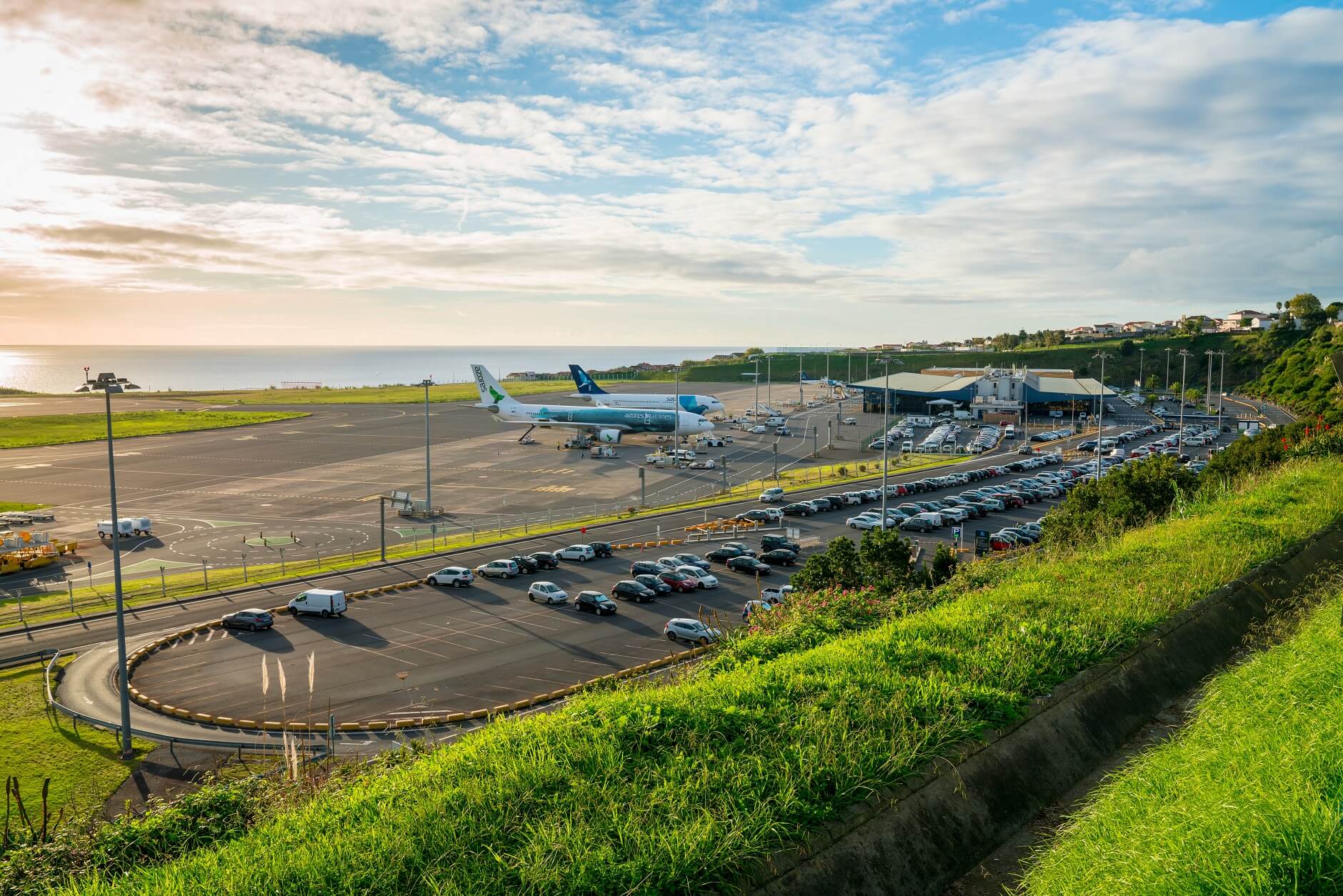
João Paulo II Airport, or Ponta Delgada Airport, serves São Miguel Island and is the main point of entry for air passengers and air cargo on the Azores archipelago. It is less than 3 km from Ponta Delgada city centre.
Bordered by the sea to the south, residential areas can be seen in the vicinity of the airport, including Ponta Delgada, industrial areas and some other buildings. Closer to the airport, there are some naphtha and oil reservoirs, belonging to POLNATO, as well as the Nordela fuel terminal, for supplying the entire island.
You can access the location here.

Horta Airport (HOR)
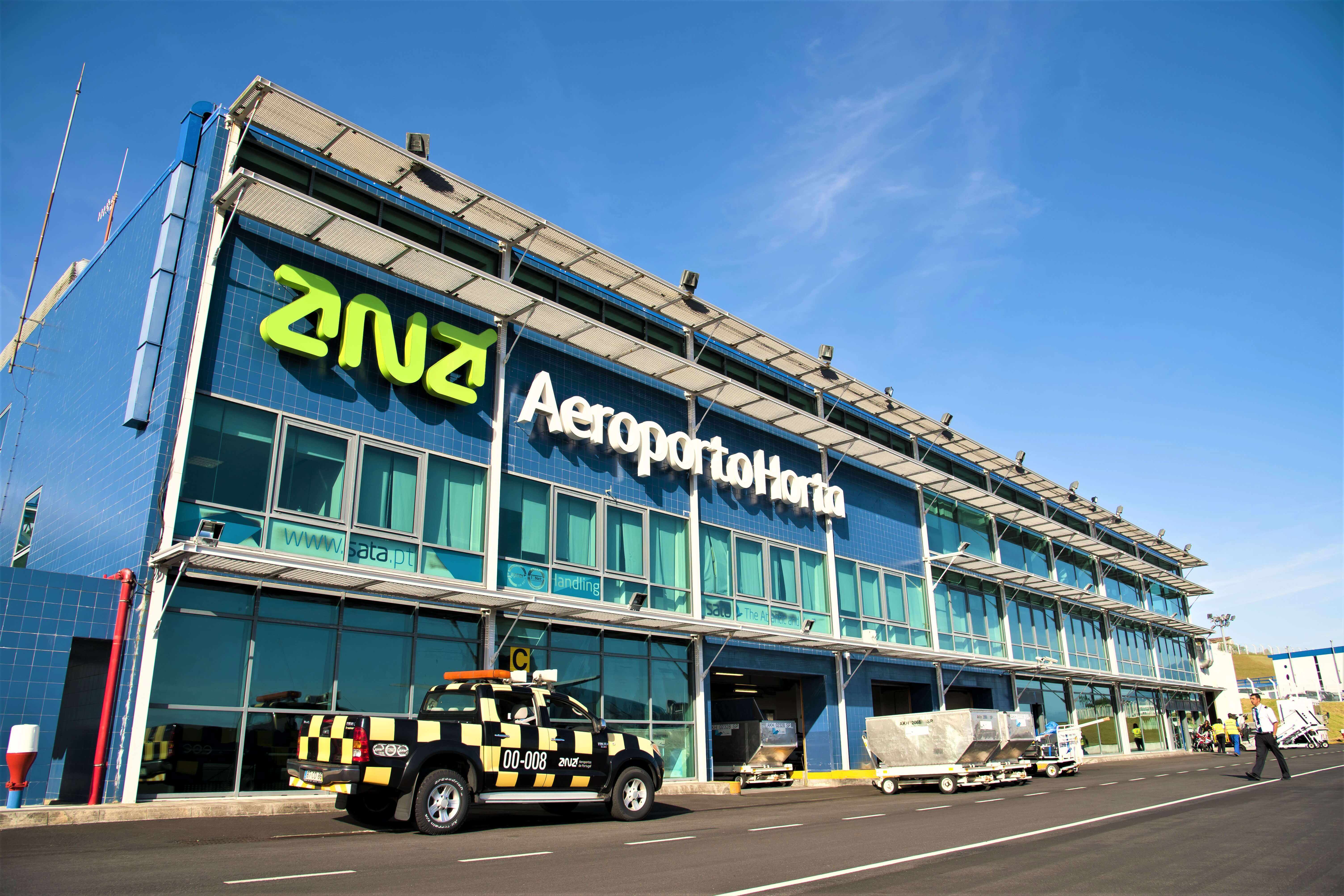
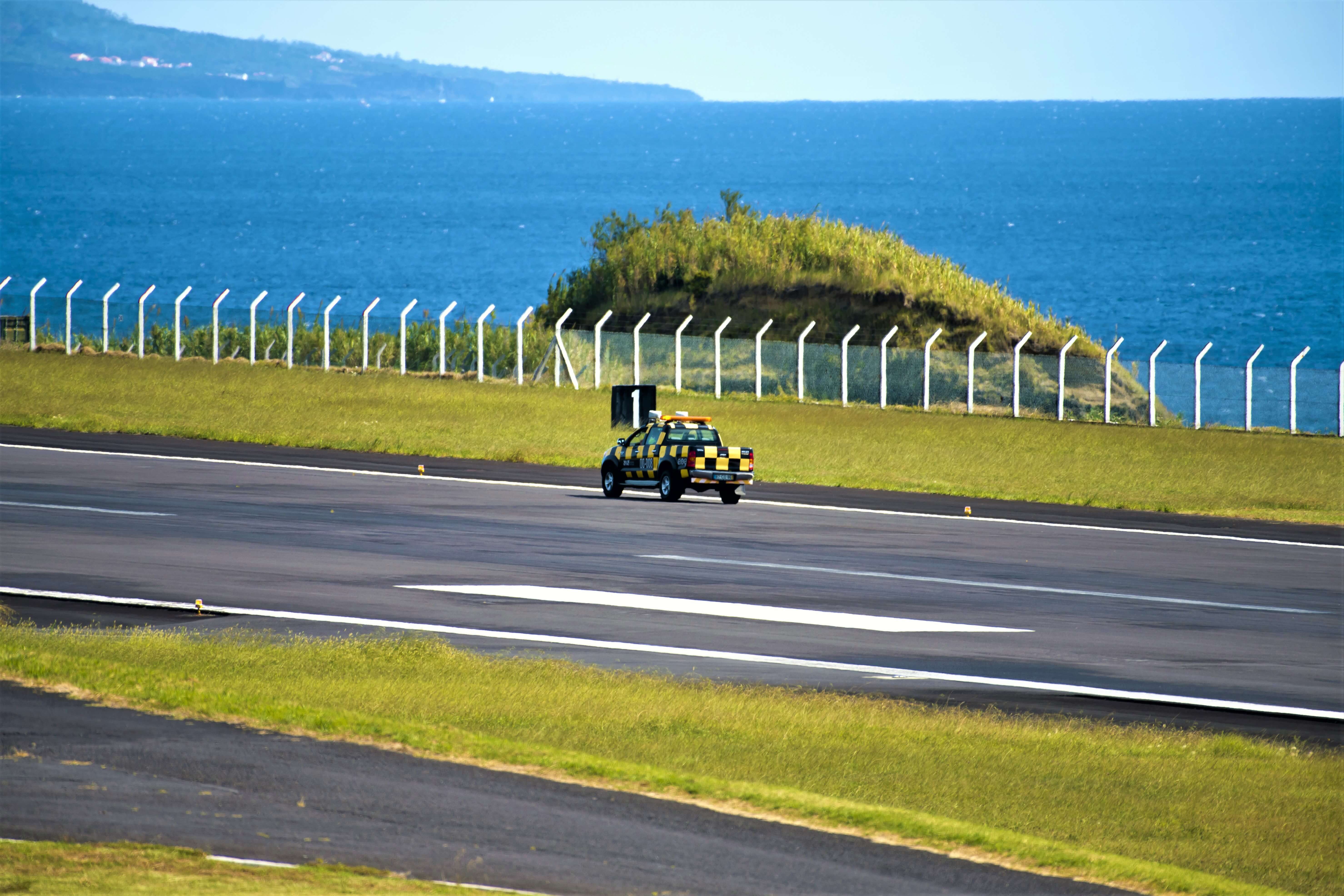
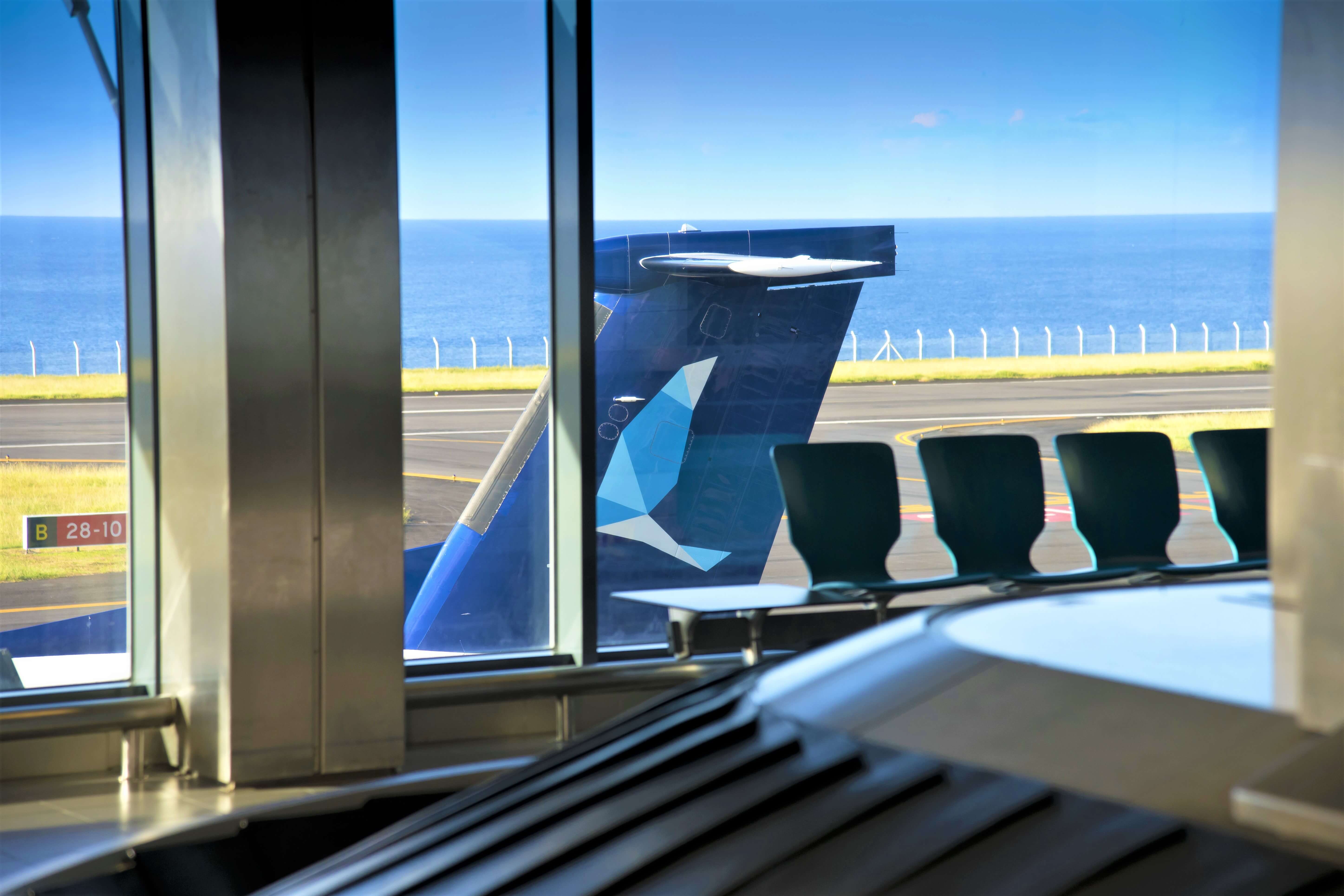
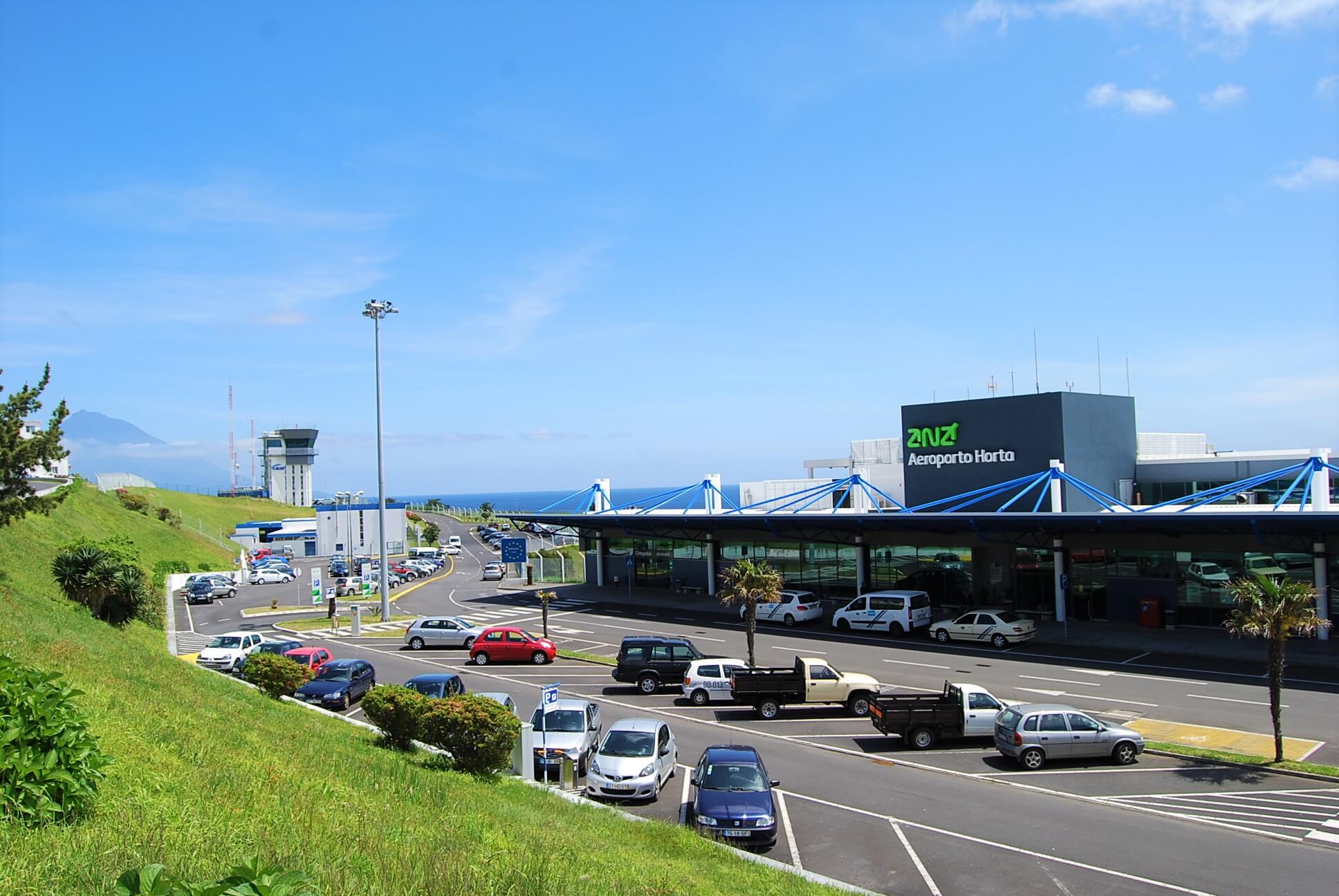
Horta Airport is located on Faial Island, Castelo Branco Parish, 9.5 km from Horta city centre.
Remodelled in August 2001, it is the most important airport in the so-called Triangle Islands (São Jorge, Pico and Faial), assuring direct flights to Lisbon and to the other islands on the archipelago.
It is an important driving force of the economy of the entire region and a hub in the tourist subregion of the Triangle. It is an important reference point for technical stopovers for small aircraft crossing the North Atlantic.
Its rural landscape and the low population characterise the airport's surroundings.
You can access the location here.
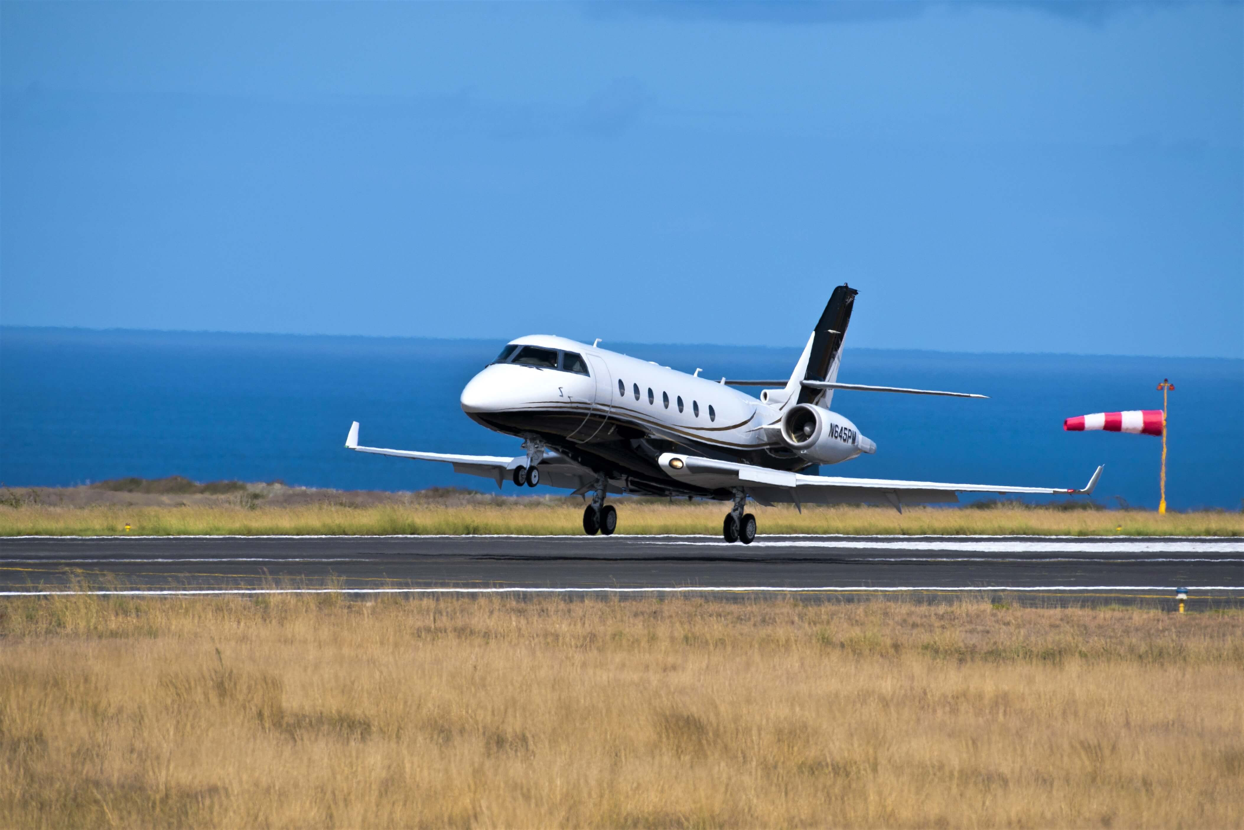
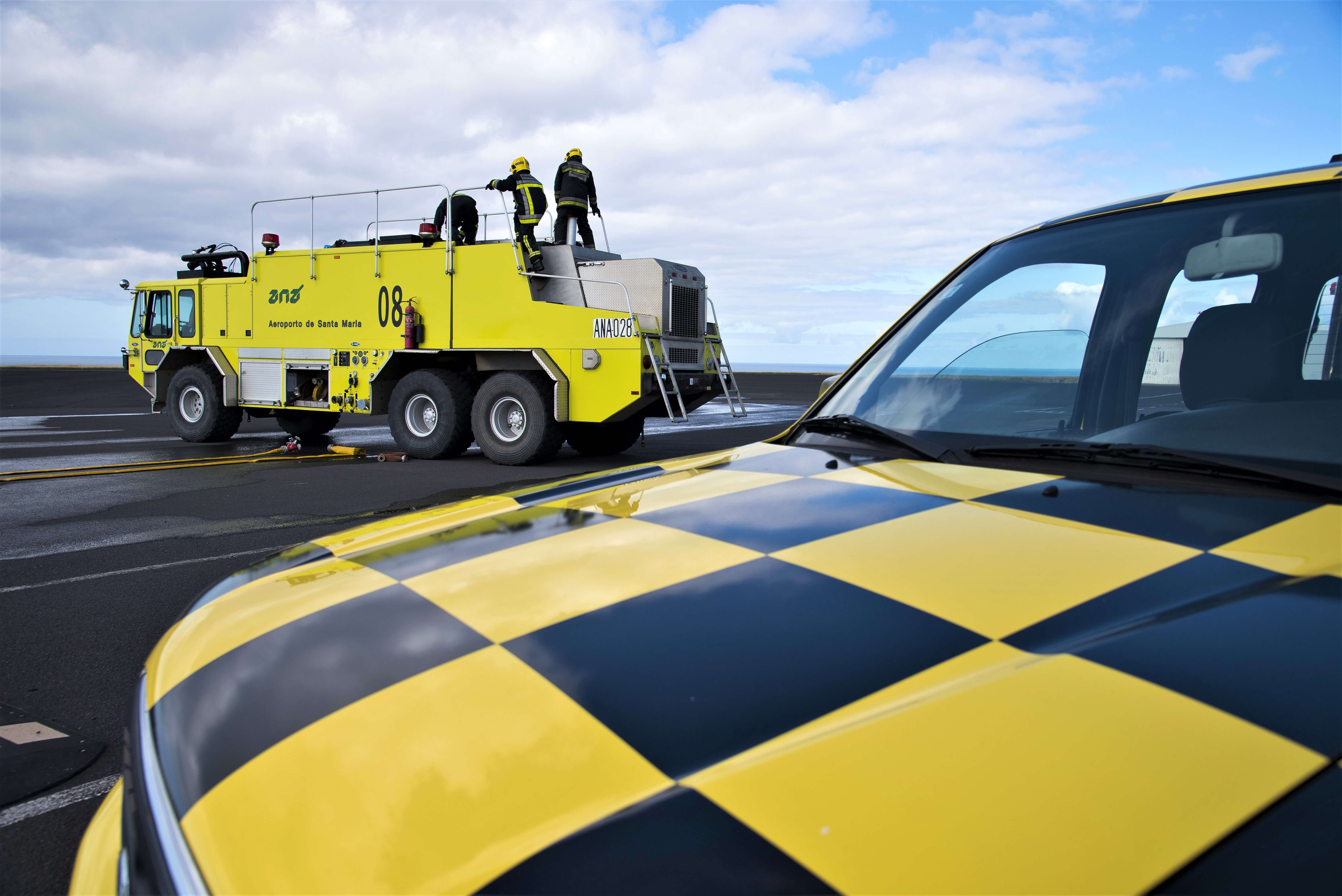
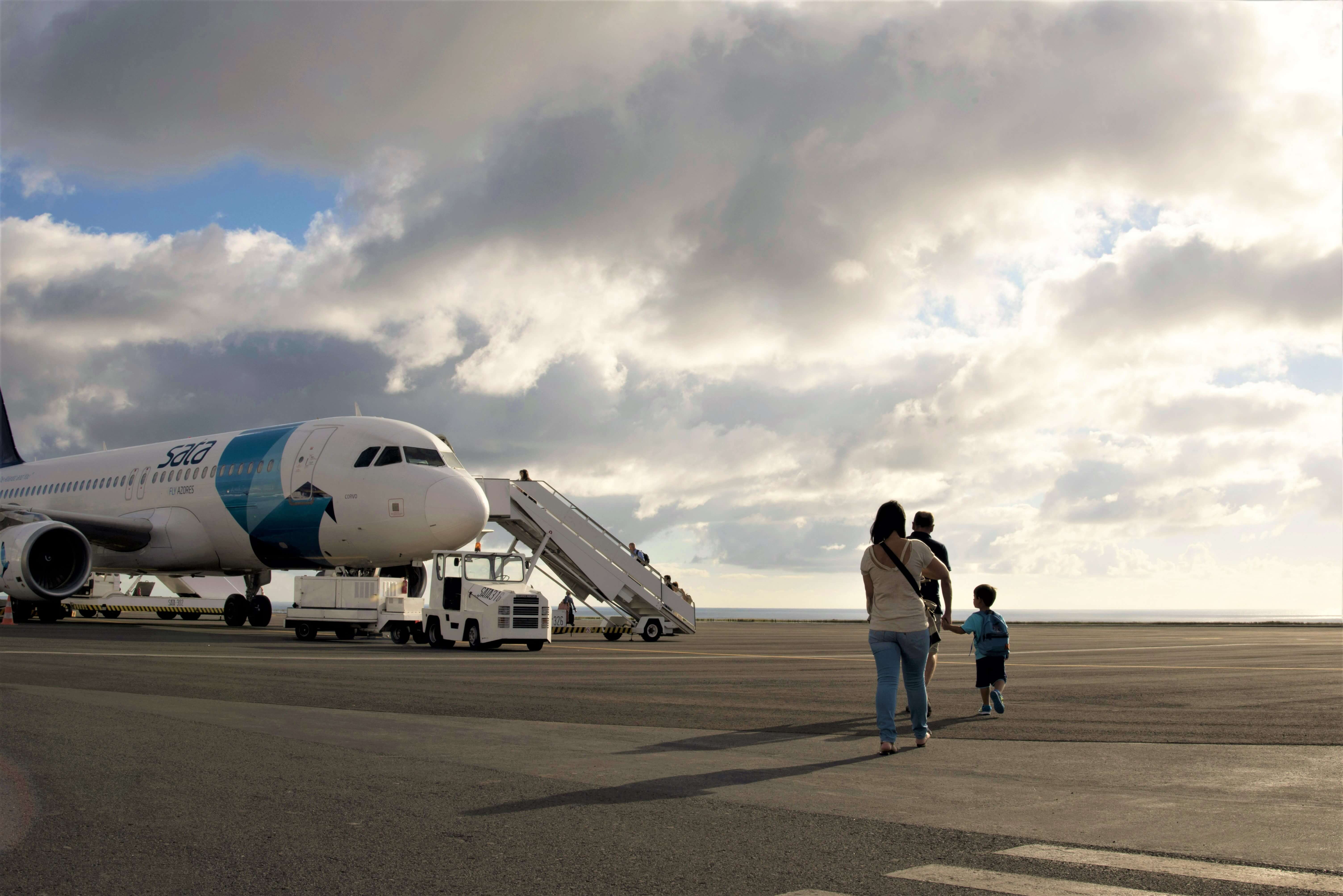
Santa Maria Airport (SMA | LPAZ)
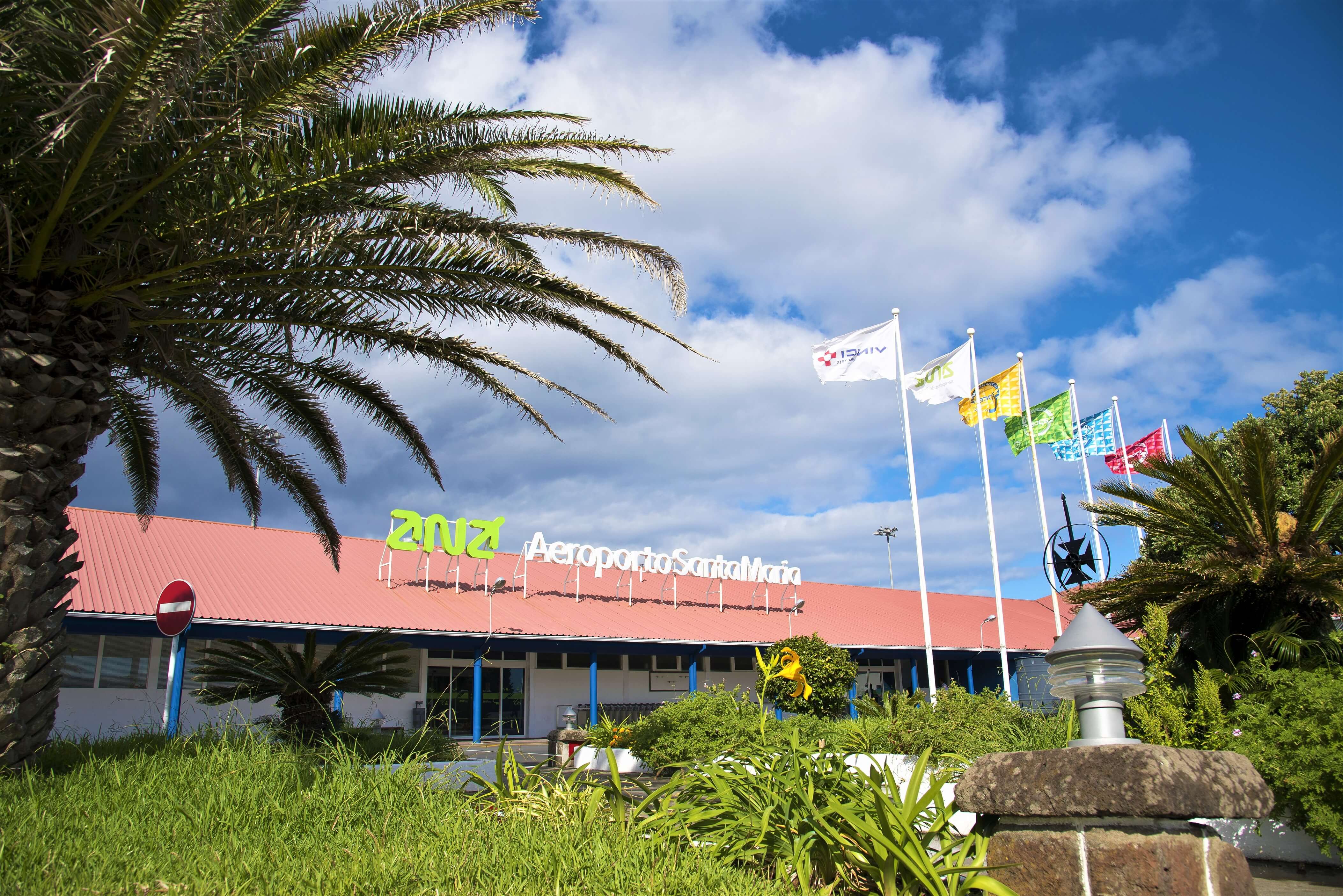
Santa Maria Airport is a civil airport located in Vila do Porto Municipality on the west of Santa Maria Island and 5 km from the city centre.
Ribeira Seca and Ribeira Santana are located near the airport, which is bordered to the west by the Atlantic Ocean. It has three runways, one of which is among the largest on the archipelago. The air traffic control operations centre (Santa Maria Oceanic FIR - flight information region) is located in this airport.
Santa Maria is the third smallest island on the Azores, with an area of 92 km2 and a population of around 5,600. Its landscape is very diverse and of great cultural interest.
You can access the location here.
Flores Airport (FLW)
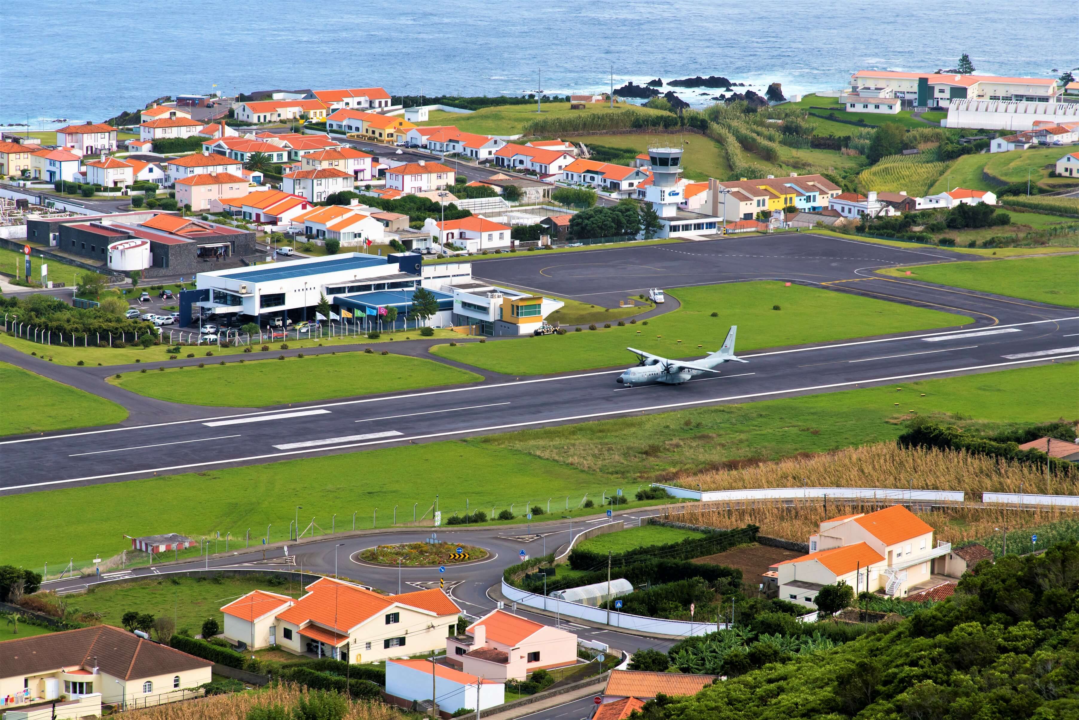
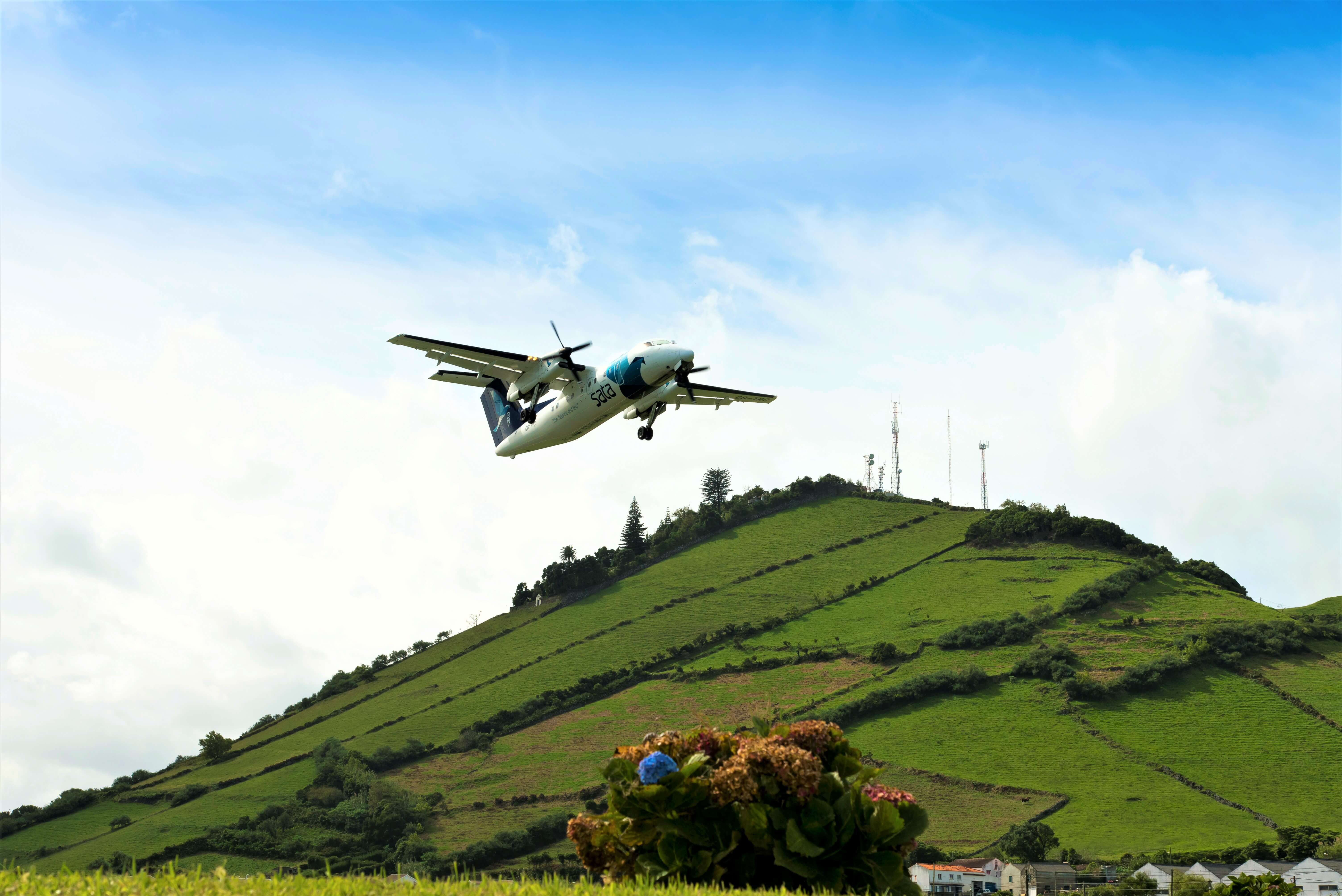
Flores Airport is on Flores Island in the Azores, which is a UNESCO biosphere reserve.
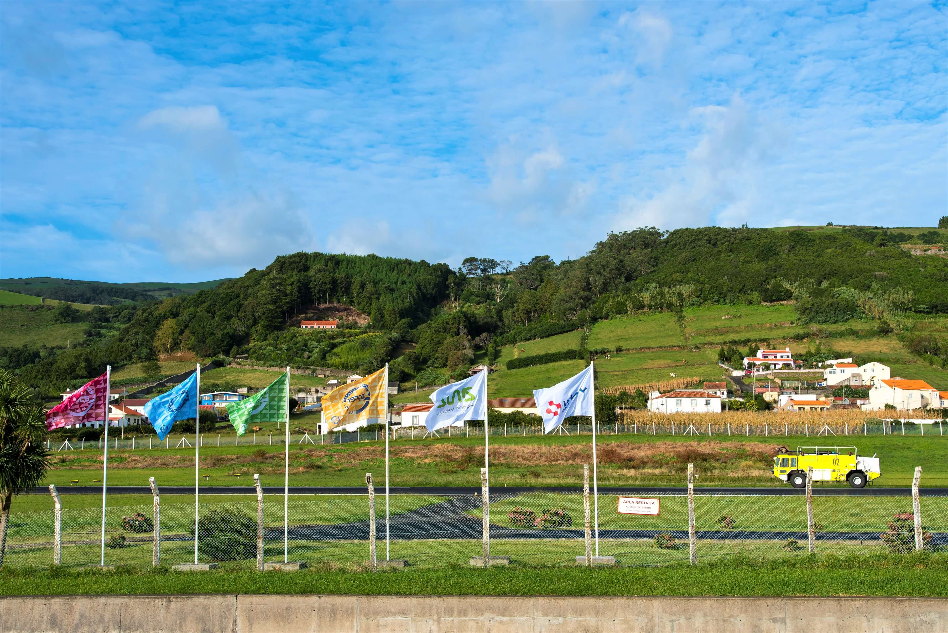
Vila de Santa Cruz das Flores, the most densely populated municipality on the island, borders the airport to the east, and there is a steep slope between the two places, putting the airport on a higher level.
Originally occupied by fields and farmland, the airport is now bordered by pastureland and houses. To the west Ribeira do Pomar crosses the airport runway and flows on towards the sea.
Flores Island, given its name due to the abundance of yellow flowers (goldenrod) it was covered in when it was discovered, has an area of 143.11 km2, is around 17 km long and 12.5 km wide.

Madeira Airport (FNC)
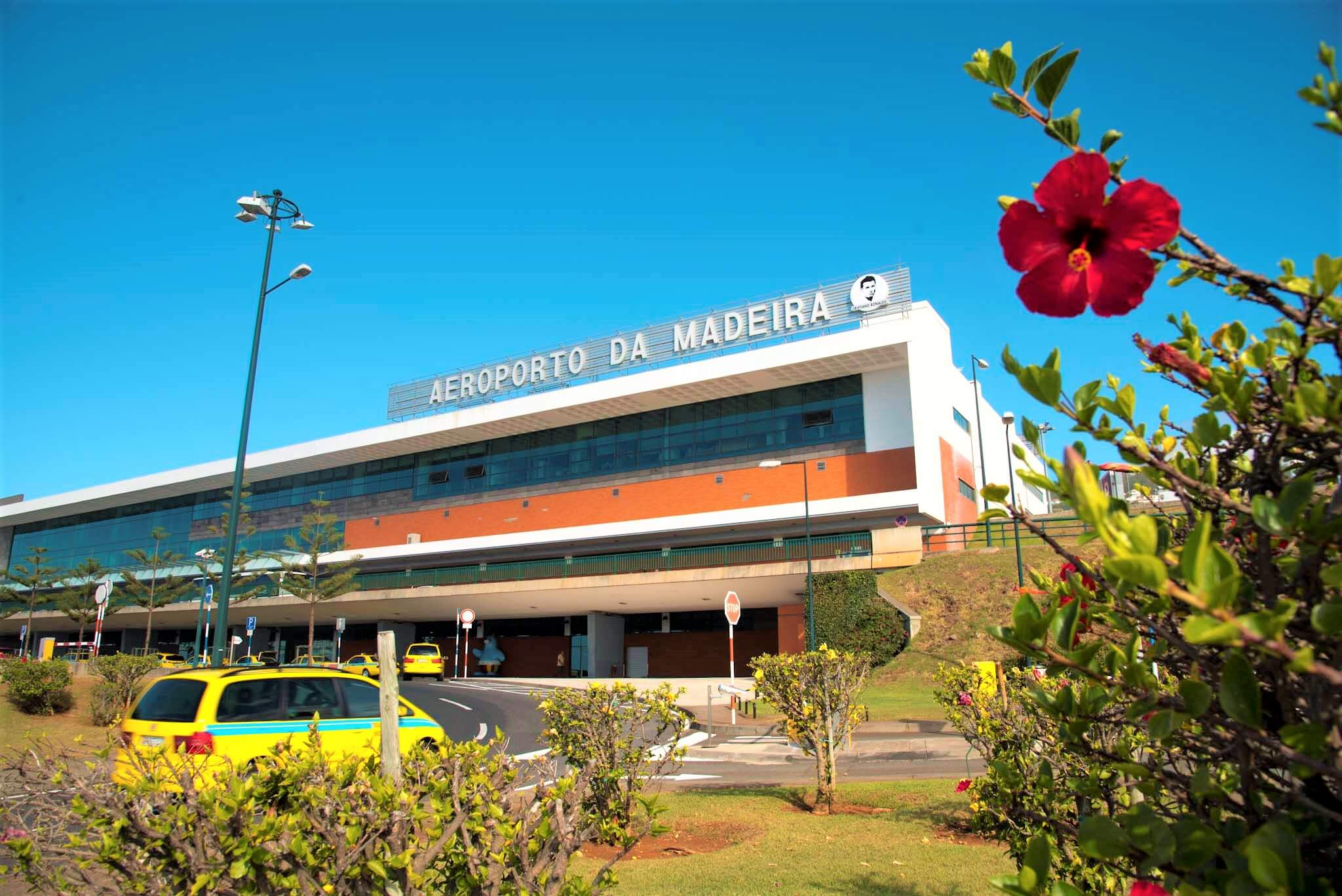
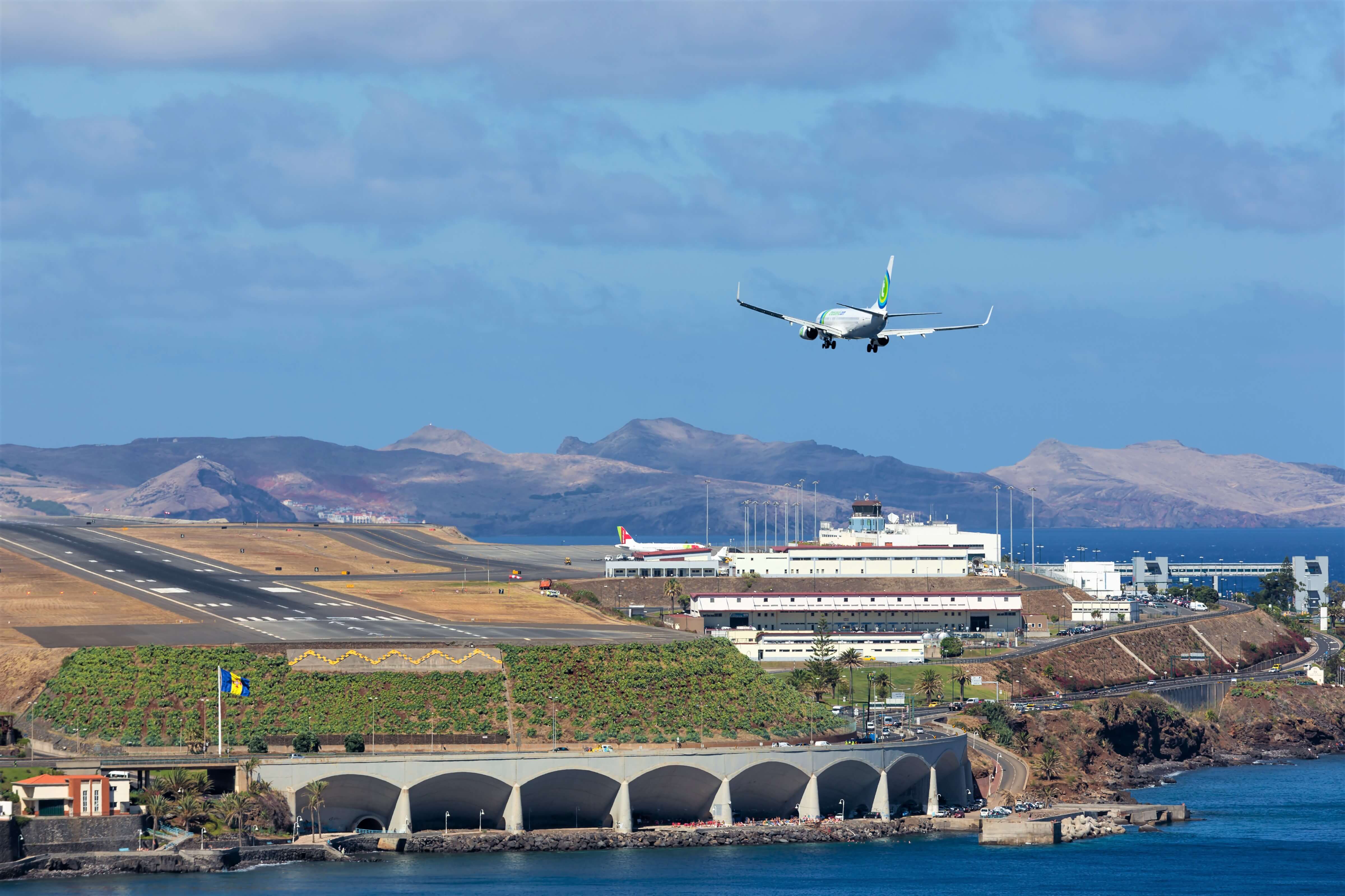
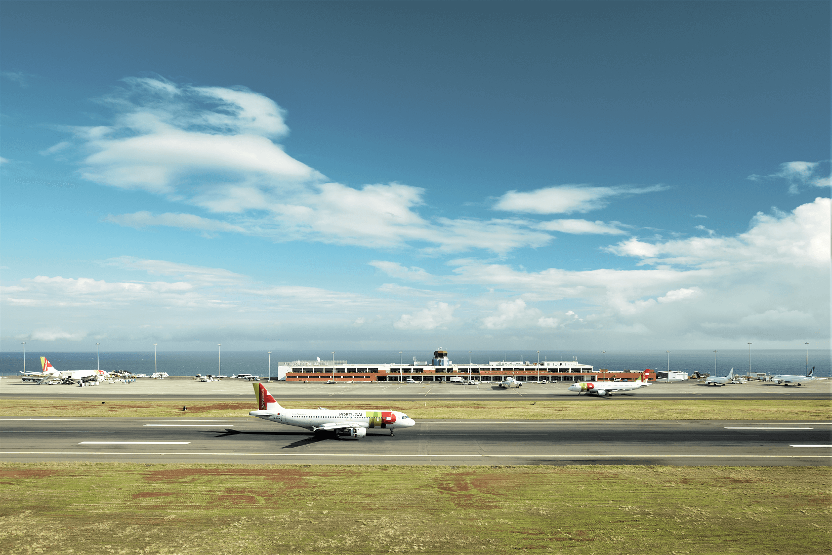
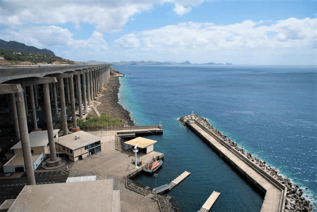
Madeira Cristiano Ronaldo Airport stands out as one of the biggest feats of engineering in Portugal. It is the fourth national airport in terms of passenger volume, mainly serving the island's tourism sector.
Located around 16 km from Funchal, Madeira Airport, on land once occupied by crops and banana trees, is bordered by the Atlantic Ocean to the south and east. The urban areas of Santa Cruz and Machico municipalities are located in the vicinity of the airport and there is also some farmland.
The Madeira archipelago is of volcanic origin and is made up of Madeira, Porto Santo, Desertas and Selvagens islands. Madeira Island has an area of 741 km2 and is 57 km long and 22 wide.
You can access the location here.
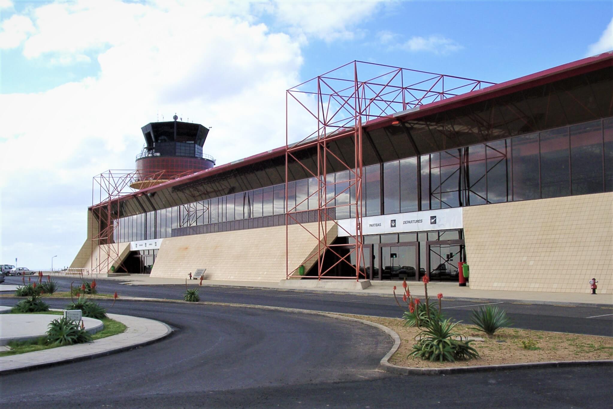
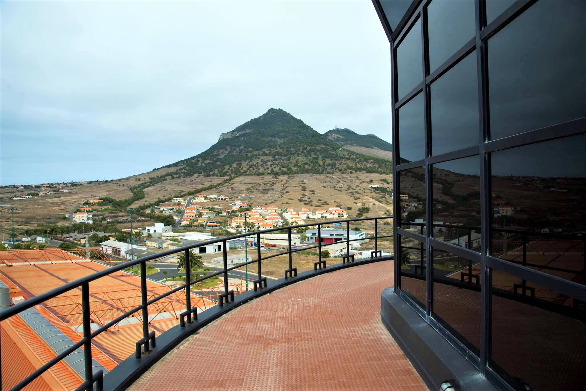
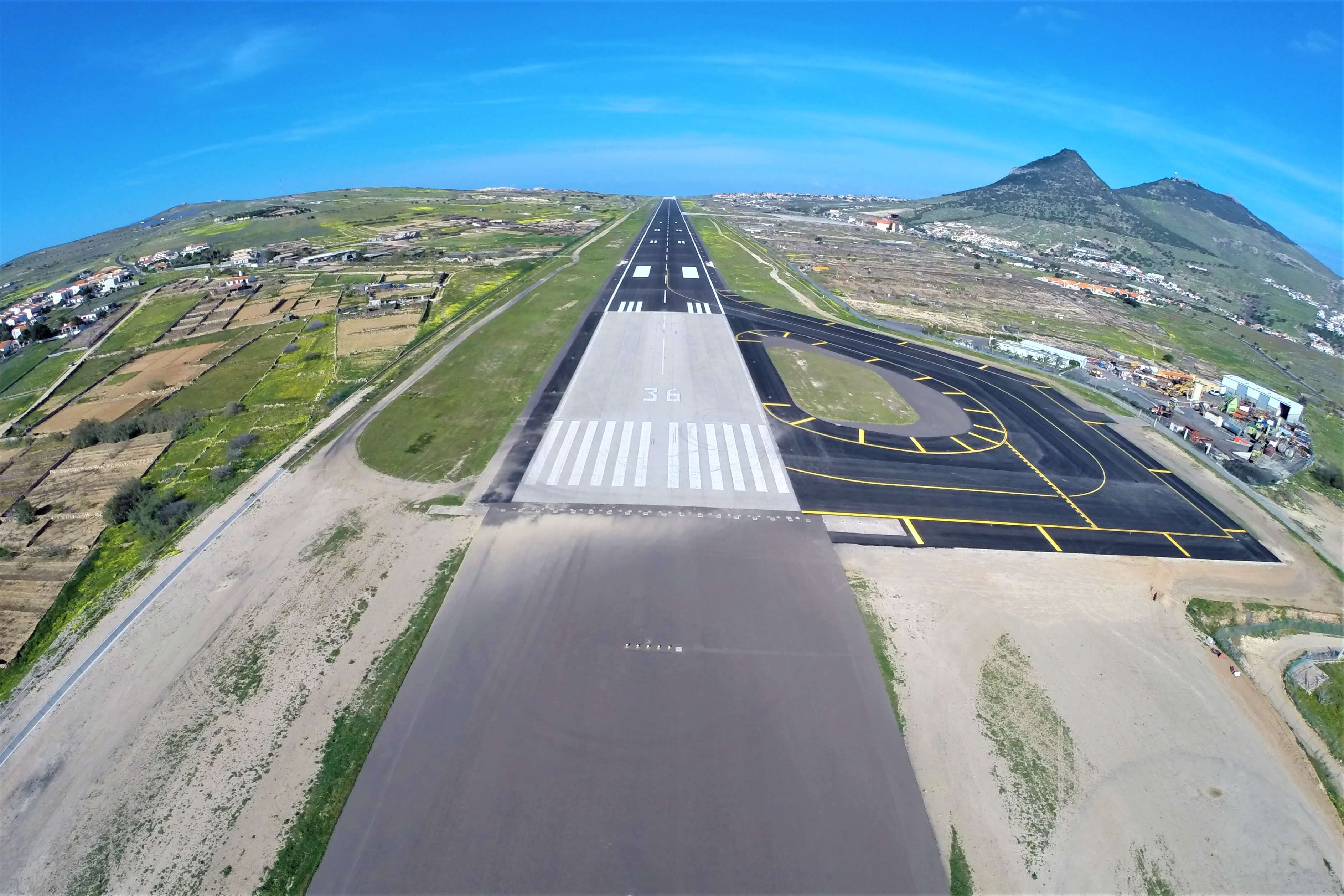
Porto Santo Airport (PXO)
Porto Santo Airport is located on Porto Santo Island, a UNESCO Biosphere Reserve.
The area around the airport is characterised mainly by natural areas and farmland, with towns at its southeastern (Campo de Cima) and eastern (Porto Santo) limits. The airport has only one runway, 18-36.
You can access the location here.